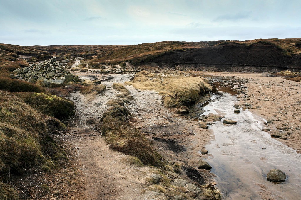
Two walkers found their luck was in after they got lost on Kinder Scout, the Peak District’s highest hill.
The pair were attempting a route on the hill on Friday, but made a navigational error, taking them in towards the centre of the plateau.
A spokesperson for Kinder Mountain Rescue Team, which was alerted to the walkers’ plight, said: “After losing the path they made several attempts to find their way out, but as it was now starting to get dark, they decided to call for help.
“However by this time there was no mobile phone service at their location. They were aware that even though they had no service from their mobile network the 999 service will attempt to get through on any available network. But there was no service on any network once they were out into the plateau.
“This is when the first of a couple of fortunate events happened. One of them happened to have a relatively new model of iPhone, and it offered them to try and raise an SOS call via satellite (this is a new service available on iPhone 14 and above – and apparently free for the first two years of the phone).
“They waved the phone at a satellite, as instructed by the app, and it connected them to a call handler who took their details and passed the information on to the police. The info was passed to us and by the time I called them, they had managed to backtrack to a location where one of them had signal.”
The team sent them a PhoneFind message to get their exact location and asked them to stay where they were. “They hadn’t planned to be waiting around to be rescued, so they were getting cold rapidly,” the spokesperson said.
“Two Kinder team hill parties were despatched to their location, but it was clearly going to quite a while for them to walk up to there with our warming gear.
“This is when the second fortunate event occurred. As I was tracking our hill parties’ progress on our mapping system, I noticed that a Coastguard helicopter was in the area.
“There were no other mountain rescue jobs running at the time, so there was a good chance they were out training. I put in a request to see if they were available and if they fancied helping us out. It would mean the walkers wouldn’t have to wait another 40 minutes for our teams to get there. The Coastguard said they were happy to help as they were only about a kilometre away.
“After a tense few moments where the helicopter had to find a path through the low cloud, they had landed and collected the walkers.”
The helicopter crew flew the walkers down to Hayfield where team members collected them and brought them back to the Kinder MRT base to warm up and have some hot drinks. Once they were warmed, rescuers drove them back to their vehicle in Edale.
“Although their day had started badly, it ended up with a couple of lucky coincidences which saved them from an extremely cold few hours waiting in the dark.”
Most of the paths on Kinder Scout are routed round the edge of the extensive summit plateau. One right of way crosses the interior from Kinder Downfall towards Crowden Clough, but navigation can be problematic, with the terrain composed of deep groughs and tall hags, limiting visibility.

PeterB
29 October 2024Those two were lucky thank goodness. I guess most of us take risks occasionally. I recall walking solo from Edale to Marsden over the tops one Saturday in February many years ago. Everything was frozen solid so Kinder Scout, Bleaklow and Black Hill it was. Great practice with map and compass.