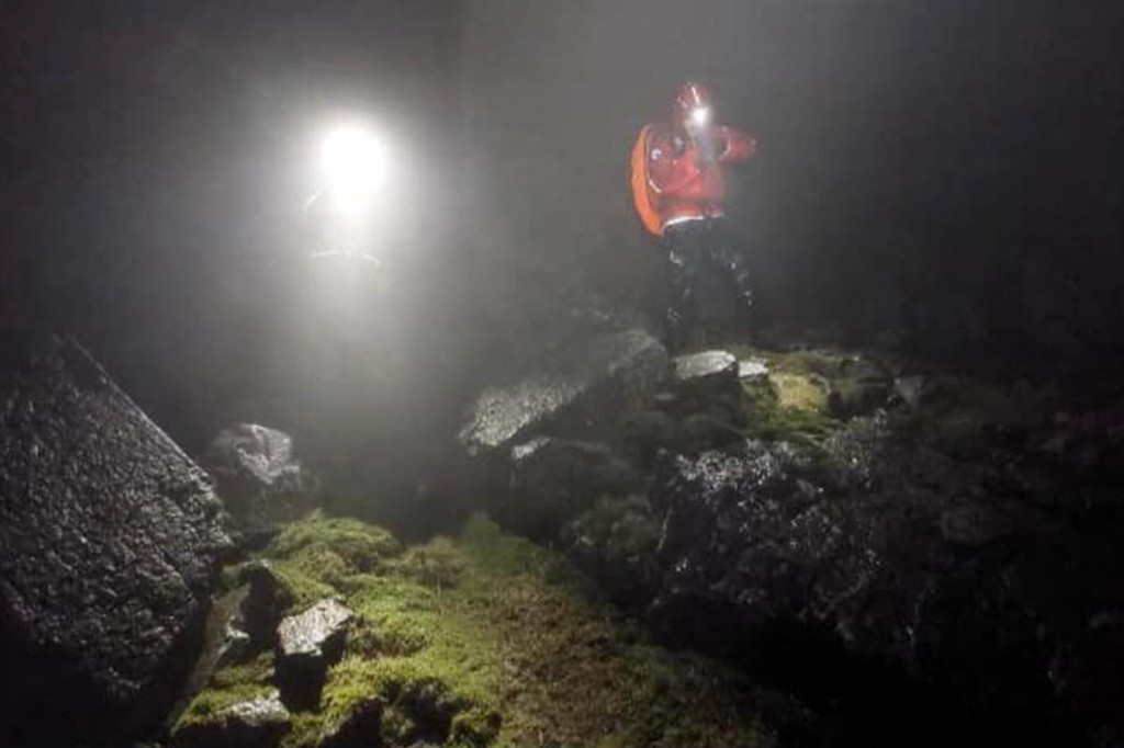
Rescuers said a walker is lucky to be alive after spending a night injured on the flanks of England’s highest mountain.
More than 70 volunteer team members were involved in the search for the man, who reported himself lost on the ridge between Scafell Pike and Great End.
Cumbria police alerted Wasdale Mountain Rescue Team about 6.25pm on Monday after the lone walker called for help.
A team spokesperson said: “Mobile phone reception was very poor, but a location was quickly established and, although the weather was deteriorating with thick mist and rain, he was asked to stay where he was and shelter from the wind.”
The spokesperson said that attempting to talk the walker down, with a rapidly declining phone battery and known areas with a lack of signal, would risk the team leader losing contact with the man, leading to an impossibly large area to search, in very dangerous terrain.
Wasdale MRT members were training at their base so were able to respond quickly.
The spokesperson said: “Two fast team members, travelling light with immediate first aid, warm clothing and a shelter were dispatched as there was concern the casualty would already be very hypothermic.”
More team members followed with additional equipment, but the lost walker could not be found at the original site. A search of the area began in what rescuers described as exceptionally difficult conditions.
“As we had expected to find him at the original location, many of the team members were carrying heavy loads, including stretcher halves; also an AutoPulse, which is a lifesaving mechanical device for carrying out prolonged CPR in the event of a cardiac arrest resulting from severe hypothermia.”
Colleagues from the Keswick team and search dogs and handlers from the Cockermouth team approached the search area from the North.
“By the early hours he had still not been found and teams reluctantly came off the hill, having done all they could overnight in extremely cold and wet conditions.
“The search continued at first light with more rescue team members and search dogs from across Cumbria and the North-East.”
The spokesperson said the weather remained wet and very misty, making searching on bad terrain very challenging and preventing the use of helicopter support.
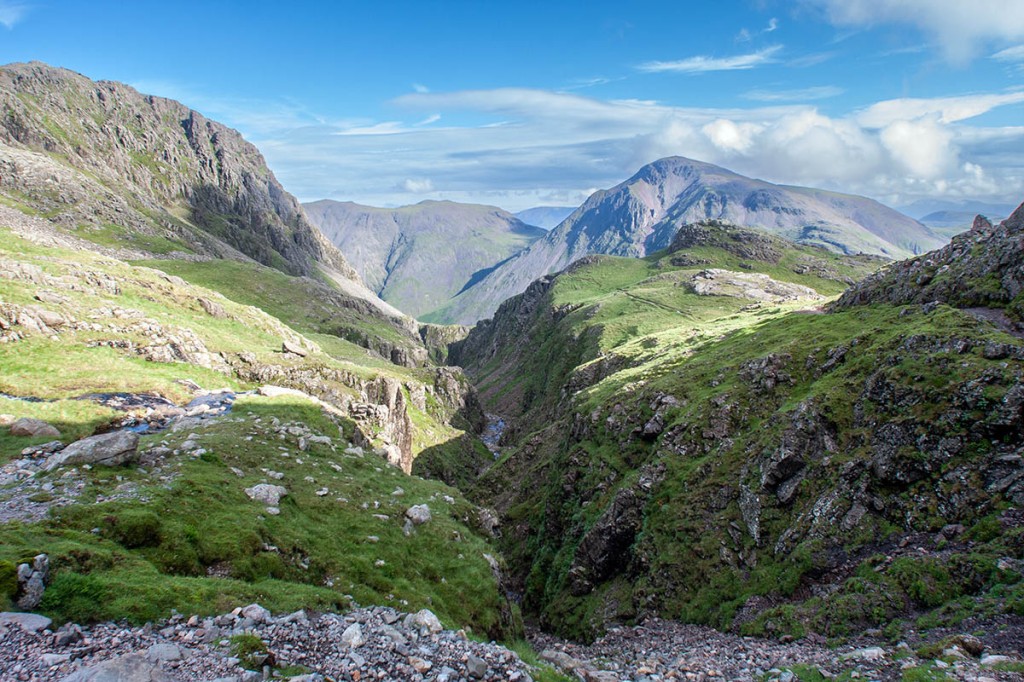
The walker was eventually found on the east bank of Piers Gill about 2.30pm on Tuesday as the teams were making their way off the mountain. The gill is a notorious rescue blackspot.
“He was hypothermic, with knee, leg and foot injuries, but thankfully alive. Teams brought a stretcher and necessary equipment up to the scene and, after treatment, he was stretchered off the hill and taken to hospital.
“We rarely comment on a rescue, but in this case we would like to say he was very, very fortunate to have survived his ordeal.
“We also have to say Google Maps on smartphones are not suitable for navigating on the hills. They lack detail and, of course, will not work with a flat battery.
“There is no substitute for a map and compass and being able to use them – they can save one’s life.
“There were over 70 rescuers from nine teams involved along with search dogs and team drones. The team wishes to thank the incredible support provided from all the teams that were involved across Cumbria and adjacent regions. Also, the willingness of both the Helimed [air ambulance] and Coastguard helicopter to respond, but prevented by the bad weather.”


Mike
23 February 2023Idiots will always find a way...
Actually you're more likely to end up in Piers Gill if you're using an OS map (which shows a path down one side) than if you're using Google Maps which doesn't show a path n that area other than the Corridor Route.
Obviously experienced walkers will make use of both smartphone apps and physical maps, but just telling newbies to use physical maps is likely to do more harm than good.
Ian512
23 February 2023Learning how to use a 'physical map' is the answer.
Probably the best navigators around (Orienteers) use 'physical maps' all the time.
J Breen
24 February 2023If you cannot use a paper map and compass, you have no business being up there.
Mango44
25 February 2023The What3Words app may have been able to help everybody out in this situation. What3Words is a worldwide grid system app available on Playstore. It will provide someone's location to within 3 metres. If the person has a signal they could identify their position on the what3words grid map in the app and rescuers could look it up and go straight there.
Fell walker
25 February 2023#Mango44
Didn't you read the article and if you did, don't you get it?
It's people who rely on this sort of technology that cause so many problems the rescue teams have to deal with.
Margaret
26 February 2023Competent navigators don't usually get lost - misplaced perhaps, but they have the skills to relocate.
David Whalley (RAF Mountain Rescue for 37 years) was asked recently what is the most common cause of accidents?
His reply was, "Navigation, navigation, navigation – there’s a reason we ALL go on about it – it really is the most common cause of callouts."
Ray
02 March 2023MR/SAR have access to a better ‘app’ than w3w called SARLoC (or at least they did).
Previous jobs have shown w3w to have some ‘inaccuracies’.