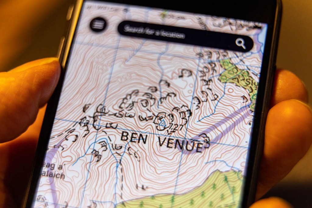
Almost nine out of 10 hillgoers now use mobile phones or GPS units to help them navigate, according to a survey.
Mountaineering Scotland asked 4,000 people if they used these devices when on the hills, and whether they had experienced problems with them.
A total of 87 per cent of respondents said they used electronic devices at some point while out walking and four out of 10 said they had experienced a situation where they had stopped working in some way.
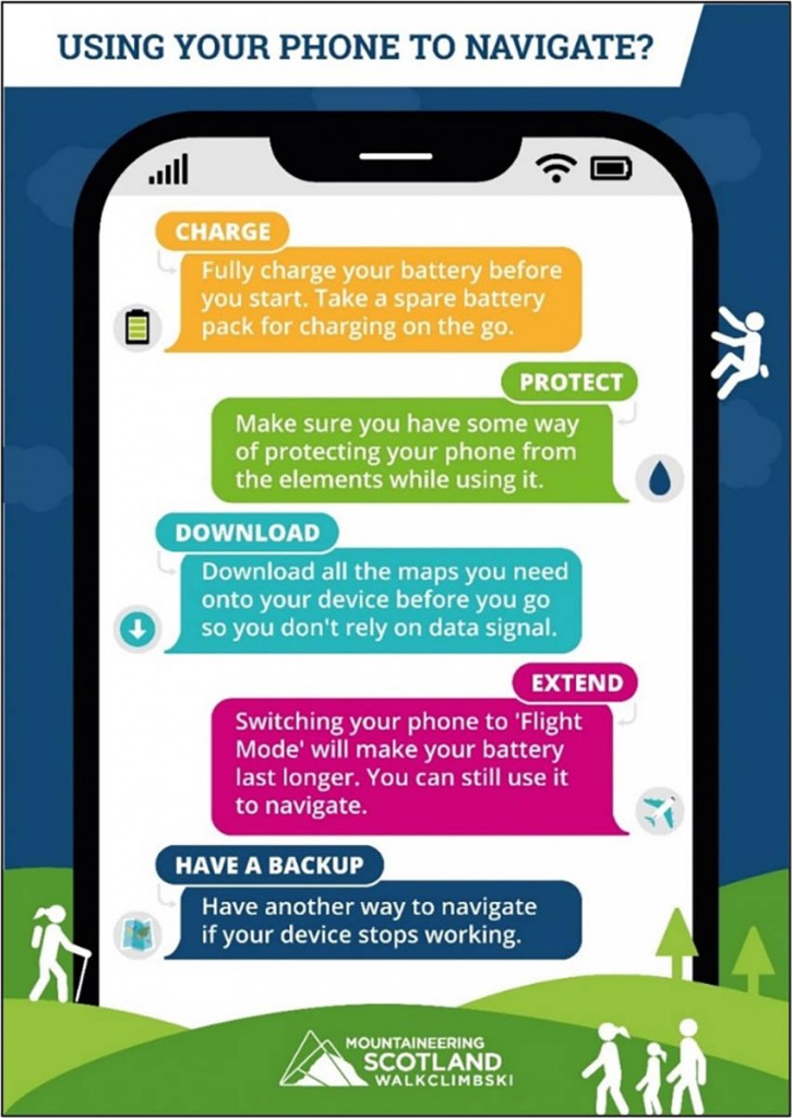
The organisation, which represents hillwalkers, mountaineers, climbers and ski tourers north of the border, has issued #SmartNav guidance on using electronic devices in the great outdoors. The simple five-point plan was devised with other members of the Mountain Safety Group.
Mountaineering Scotland said hillgoers should:
- Charge: start with 100 per cent battery charge and charge your device while you travel if you’re using it for music or road navigation.
- Protect: protect your phone from the elements and keep it close to your body when not in use to help it stay warm and dry and save battery life.
- Download: download all the maps you might need so you don’t need to rely on mobile data to be able to access maps on your walk.
- Extend: Switching your phone to ‘Flight Mode’ makes your battery last a lot longer and take a fully charged power bank to re-charge on the go if needed.
- Take a backup: If your phone or GPS fails, you’ll need another way to navigate, for example a map and compass, and the ability to use them effectively. Consider also carrying a simple backup phone for emergencies.
Mountaineering Scotland safety advisor Ben Gibson said: “When going out into the hills this winter or at any other time of the year, it is important to look after your phone as it not only gives you additional information to help with your hill and mountain navigation but, is also your lifeline to contacting the emergency services in the event you or a group member finds yourself in a serious situation.
“Remember, if you’re downloading your route from an app, it’s always worth checking it against other reliable sources to make sure it’s safe and suitable for your level of experience and ability.”
The Mountain Safety Group includes Scottish Mountain Rescue, Police Scotland, Mountain Training Scotland, Glenmore Lodge, Developing Mountain Biking Scotland and Snowsport Scotland.


Ian512
26 January 2023A comment Nigel Williams made in a navigation article he recently wrote might be of interest:
"We have a choice as to how we interact (with a GPS device) on the hill. There is a decision-making continuum;
At one end we can follow the 'dot' 100% of the time and let the GPS control us by making all the decisions.
At the other end we can exercise our spatial awareness, observation and decision-making skills using map and compass, with the GPS used to confirm a decision after it has been made, in that scenario we control the GPS."
Ian512
27 January 2023A comment Nigel Williams made might be of interest:
'We have a choice as to how we interact (with a GPS device) on the hill. There is a decision-making continuum;
At one end we can follow the 'dot' 100% of the time and let the GPS control us by making all the decisions.
At the other end we can exercise our spatial awareness, observation and decision-making skills using map and compass, with the GPS used to confirm a decision after it has been made, in that scenario we control the GPS.'
Simon
22 February 2023I know how to use map & compass but use my phone on the hill. It has full OS 1:25000 mapping on it and covers the whole country. That s/w is loaded onto 3 phones, all of which I take. Two of them are turned off, whilst the other is in use. My active phone is always in "flight mode" (it's usually not the active phone device) and I would never listen to music in the outdoors. In the few years I have been doing this, I have only once had to move to phone two because of battery issues and never go to phone three