Some of Scotland’s best coastal wild camping areas could disappear because of increased coastal erosion, research suggests.
Climate change has increased the effects of wave action, coastal flooding and rising sea levels, putting the sites at risk of being unusable by 2050.
The Centre of Expertise for Waters, collaborating with researchers from the University of Glasgow, found that almost half of Scotland’s ‘soft coast’ is affected, an increase of 38 per cent over 2017 figures. The rate of erosion, currently 43cm a year, is likely to accelerate, as well as affecting more areas.
If greenhouse-gas emissions continue at a high rate, 84 per cent of soft shorelines will be at risk of erosion by 2100. Even if emissions are cut to a low level, 56 per cent are likely to be eroded.
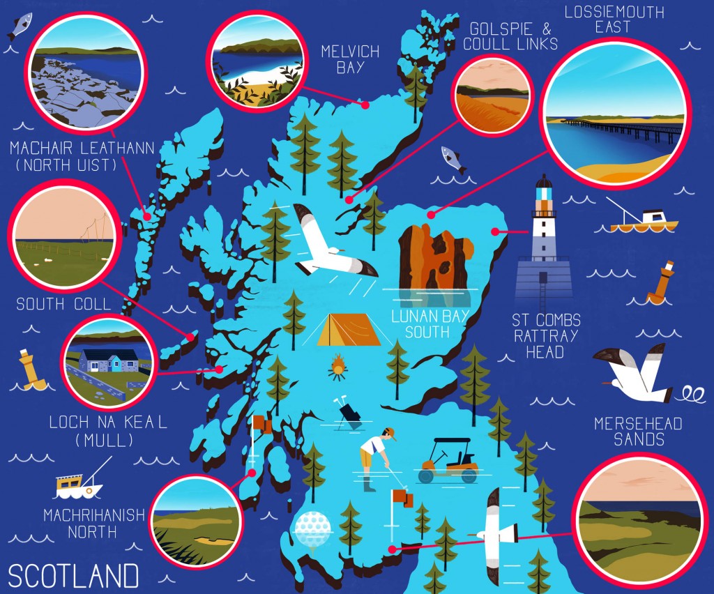
Port Glasgow-based outdoor brand Vango asked the university to map at-risk coastal areas to mark the staging of the COP26 climate summit, which begins at the weekend.
It identified 10 top at-risk coastal sites:
- St Combs to Rattray Head on the north-east coast
- Lunan Bay in Angus
- South Coll on the Isle of Coll
- Loch na Keal, Isle of Mull
- Machrihanish, on Kintyre
- Machair Leathan, on North Uist
- Mersehead Sands, in Dumfries and Galloway
- Golspie in Sutherland
- Melvich Bay, on the north coast of Sutherland and
- Lossiemouth East in Moray.
Larissa Naylor, professor of geomorphology and environmental geography at the University of Glasgow, said: “Even with net-zero our sea levels will continue to rise and continue to erode key coastal assets like wild camping beaches and critical transport infrastructure.
“It is thus imperative that we act now to, in the first instance, achieve net-zero, and beyond, rapidly and secondly, adapt society to better live with coastal climate change impacts like flooding and erosion.
“The map is just a snapshot of some of the locations under threat; the tip of the iceberg. Many more wild camping sites will shrink in area or disappear in the coming decades, as sea level continues to rise and climate change impacts accelerate.”
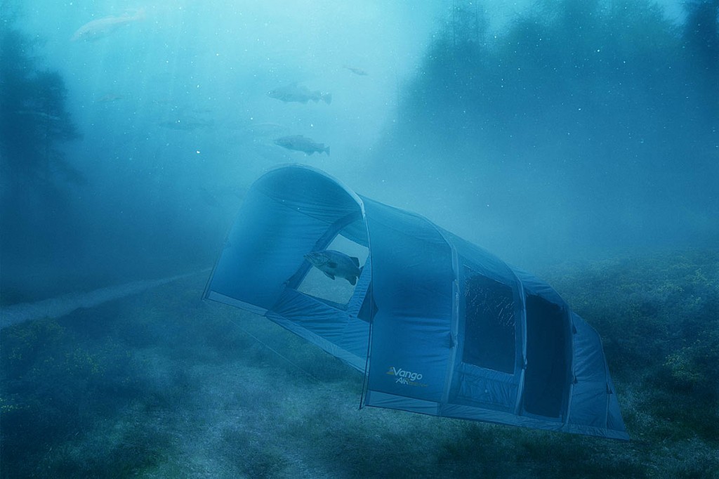
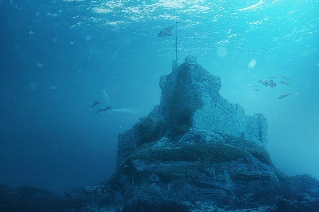
As part of its awareness campaign, Vango also commissioned a series of computer-manipulated images depicting an imagined, dystopian sunken world beyond 2300. One shows a sunken campsite and the second Castle Tioram on Loch Moidart. Currently, the castle is accessed on foot at low tide, but is anticipated to be inaccessible from the land by 2100, along with the loss of local wild camping sites along the Ardnamurchan coast.
Scottish adventurer Mark Beaumont, who holds the Guinness world record for cycling around the world is a supporter for climate action, as well as a Vango ambassador. He said: “This map is a stark warning that the issue of climate change, and its impact on our precious outdoors, is very real. 2050 is not so far away, especially when I think of the lifetimes of my children and how they can enjoy the great outdoors.
“So I would encourage people to get out to these incredible sites – see them, appreciate them and understand that unless we take collective action, they could soon disappear.”
During COP26, Mark Beaumont and Markus Stitz will be undertaking a gravel ride around Glasgow to promote the benefits of seeing local areas in new ways and connecting with the outdoors through adventure.
Rob Birrell, Vango’s marketing director, said: “Scotland is famous for its scenic wild places and uplifting sense of remoteness, but sadly some of our most beautiful wild camping spots and beaches are seriously at risk and shrinking.
“By sharing this new map, it is our hope that we will spotlight a very real concern about Scotland’s depleting outdoor space and, ultimately, drive people and politicians to take action now.”
More information is on the Centre of Expertise for Waters website.


