Some people like to ascend hills because they’re there; or because the view from the top is fantastic, perhaps.
Others take a more mathematical approach to their hillwalking, attaching an importance to the mountain’s vital statistics.
Myrddyn Phillips probably has a foot in both camps, but the boot is maybe a little more firmly planted in the latter. He has surveyed or helped to survey numerous British peaks, determining their height and for which list this qualifies them.
In this piece, he details a pioneer of the hill-list publication, and a new book, telling the tale of how Dr Eric Yeaman came to write the groundbreaking tome that details 2,435 Scottish hills, 31 years ago.
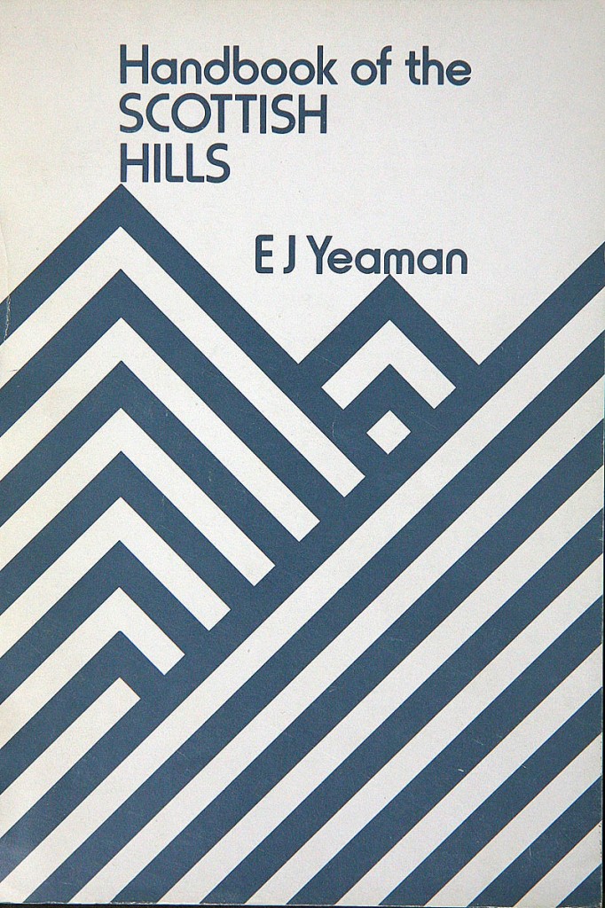
The publication of the Ups and Downs – The Story of Handbook of the Scottish Hills is a 31-year journey in the making, as this book is a sister volume to the Handbook of the Scottish Hills that was published by Wafaida in 1989.
Although sister volumes, the two books are very different; the 1989 publication revolutionised how hills are categorised, while the Ups and Downs – The Story of Handbook of the Scottish Hills concentrates on the former publication and details how the book and its contents materialised.
Before exploring the Ups and Downs it is probably best to give some detail relating to the Handbook, after all the 1989 publication turned how a hill is categorised on its proverbial head.
Handbook of the Scottish Hills was published in 1989, but its conception started as early as 1980 when its author Dr E J Yeaman returned from a hillwalking trip to some of his favourite hills: Deuchary Hill, behind Dunkeld, and Clachnaben, above the Cairn o’ Mount. These are not high hills and upon returning home he wondered if a list to lower hills in Scotland existed and found that one did not.
It was soon after that he decided to rectify this and compile a list of his own, but what should constitute a hill?
At the time that Dr Yeaman decided to compile a list of the Scottish hills the Ordnance Survey had just updated their mapping from the one-inch series to the 1:50,000 Landranger series, and the use of these new metric maps suggested that a separate hill could be classified by using a drop criterion of 100m all round.
But what about those hills that were separate in distance but not in drop? To include such hills Yeaman added an auxiliary criterion: a summit would also qualify as a hill if it was at least 5km walking distance from any higher point.
The combination of these ‘rules’ gives a unique listing of hills, but the use of the 100m drop criterion literally uprooted everything that came before and led the world of hill classification on a different path entirely. However, as with most things that revolutionise a medium, when the Handbook was published it received little fanfare, and it is only with hindsight that its importance is recognised.
The reason why the Handbook was revolutionary is simple. Before its publication the standard way to classify a hill was by using a minimum height and a minimum drop. These two mainstays of criteria had been used in countless listings over many years, and some examples pre- and post-Handbook that use these criteria are given below:
Corbetts – Scottish hills, 2,500ft minimum height with 500ft minimum drop, with upper height band below 3,000ft.
Hewitts – English and Welsh hills, 2,000ft minimum height with 30m minimum drop.
Nuttalls – English and Welsh hills, 2,000ft minimum height with 15m minimum drop.
By using minimum height and drop a hill list compiler creates a simple way to separate one hill from another. This differentiation works extremely well and is empathised by the popularity of many of its proponents. However, what happens if these two mainstays of criteria are scrapped and are replaced by one criterion? Prior to Yeaman no-one had thought about this let alone attempted to classify hills by such a method.
Although employing the auxiliary criterion of distance, the main criterion of 100m drop turned the world of hill classification upside down, as it meant that there were no bounds except for one, and the one specified could be anything. In this instance it was 100m, but other hill-list authors soon followed with their own take on what has now become known as ‘relative height’.
Dr Yeaman’s Handbook was the first publication to prioritise relative over absolute height.
These two definitions are:
Relative height is applied to hills whose qualification is just dependent upon a minimum drop.
Absolute height is applied to hills whose qualification is dependent upon a minimum height and a minimum drop.
The difference is simple but it has revolutionised the world of hill classification. As with many listings of hills the use of the same or slightly different criteria from one hill list compiler to another gives an evolving feel to many lists.
It is no different with Dr Yeaman’s use of relative height as this evolving process has manifested itself with listings that employ this method of classification. Such examples are given below:
Marilyns – British hills with 150m of relative height compiled by Alan Dawson
Humps – British hills with 100m of relative height collated by Mark Jackson
Tumps – British hills with 30m relative height collated by Mark Jackson
Twmpau – Welsh hills with 30m relative height compiled by Myrddyn Phillips.
Although the Handbook of the Scottish Hills was appreciated by some people when it was first published, its significance is only now being fully understood and the publication of the Ups and Downs – The Story of Handbook of the Scottish Hills is a timely reminder of what the Handbook has achieved since its publication.
The Ups and Downs explores the conception of the Handbook and leads the reader through many aspects relating to it; this is no ordinary book as it employs a detailed analysis in its method, which is to be expected from a list author who delved into great detail within the Handbook.
One of the fundamental things with any book is that the purchaser has in hand the end product, the months of labour to create it is not on direct show, and in the case of a hill-list author these months of labour consists of meticulous map study and refinement of one’s list, and one of the joys of the Ups and Downs is that it explains this process and gives details to how it evolved for the Handbook.
However, the Ups and Downs goes beyond the rigours of hill list compilation and has chapters giving details on how to approach commercial publishers, and how to self-publish and market and deal with bookshops.
The Ups and Downs is an exploration beyond the Handbook, but stemming directly from it. It includes correspondence that the author received, with much of this detailing that from the late E D ‘Clem’ Clements, the author of the TACit Tables publication The Hewitts and Marilyns of Ireland.
It was a tentative suggestion from Eric and Clem that they should use the same criteria employed in the Handbook and list the qualifying hills for England and Wales, although a co-authored book did not materialise, Clem did compile such a list and the hills therein became affectionately known as the ‘Clem Yeamans’ in honour of the list compiler and the person who invented the criteria used.
It is fitting that the 2,490 Scottish hills listed in the Handbook and its later updates are now known as the ‘Yeamans’ after Dr E J Yeaman; the first person to use what is now commonly known as relative height, and the author of Handbook of the Scottish Hills and its sister volume; Ups and Downs – The Story of Handbook of the Scottish Hills.
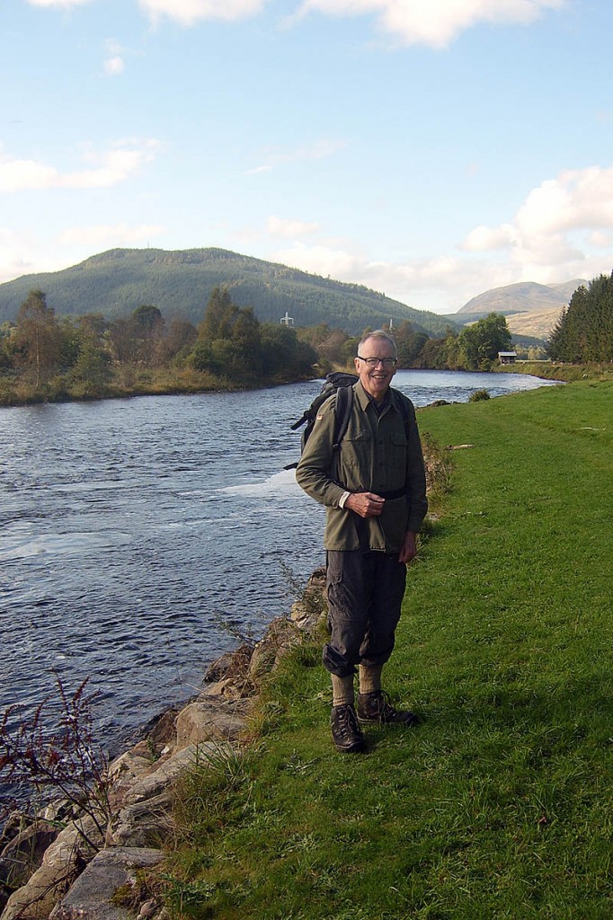
The author; Eric Yeaman resides in Arbroath, on the east coast of Scotland. He enjoyed bagging hills until an arthritic knee made beach walking a more attractive option. He has produced a number of books including the Handbook of the Scottish Hills and the Ups and Downs – The Story of Handbook of the Scottish Hills.
Ups and Downs – The Story of Handbook of the Scottish Hills is available as an e-book from Mapping Mountains Publications and Smashwords.


