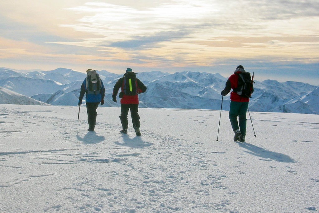
Experts have issued a rare special statement warning of challenging avalanche conditions in the Scottish Highlands.
The Scottish Avalanche Information Service said high or considerable risks of snow movements are in force in all of the areas it covers over the weekend.
It said: “This marks the start of a period of significant snowfall and challenging winter conditions.”
It recommends anyone heading to the Scottish mountains should read the daily avalanche reports and check weather forecasts on a regular basis.
It added: “Overnight during Friday and the early hours of Saturday 29 precipitation will turn to rain at summit levels. A period of significant avalanche activity will take place overnight with large avalanches expected in many mountain areas.
“This should diminish by daybreak on Saturday as it turns colder. Later Saturday further snowfall and gales are expected for the next days.”
The risk in Lochaber is high on slope aspects from the North-West to the East, above 800m. In Torridon the risk has dropped to moderate, but in all other areas certain aspects will have a considerable avalanche risk. Full details are on the SAIS website.
The Mountain Weather Information Service is forecasting strong winds across Britain, with northern Scotland least affected, but with Lake District fells experiencing speeds up to 70mph with similar stormy conditions in Snowdonia. Heavy snow may return later on Saturday after easing overnight.
