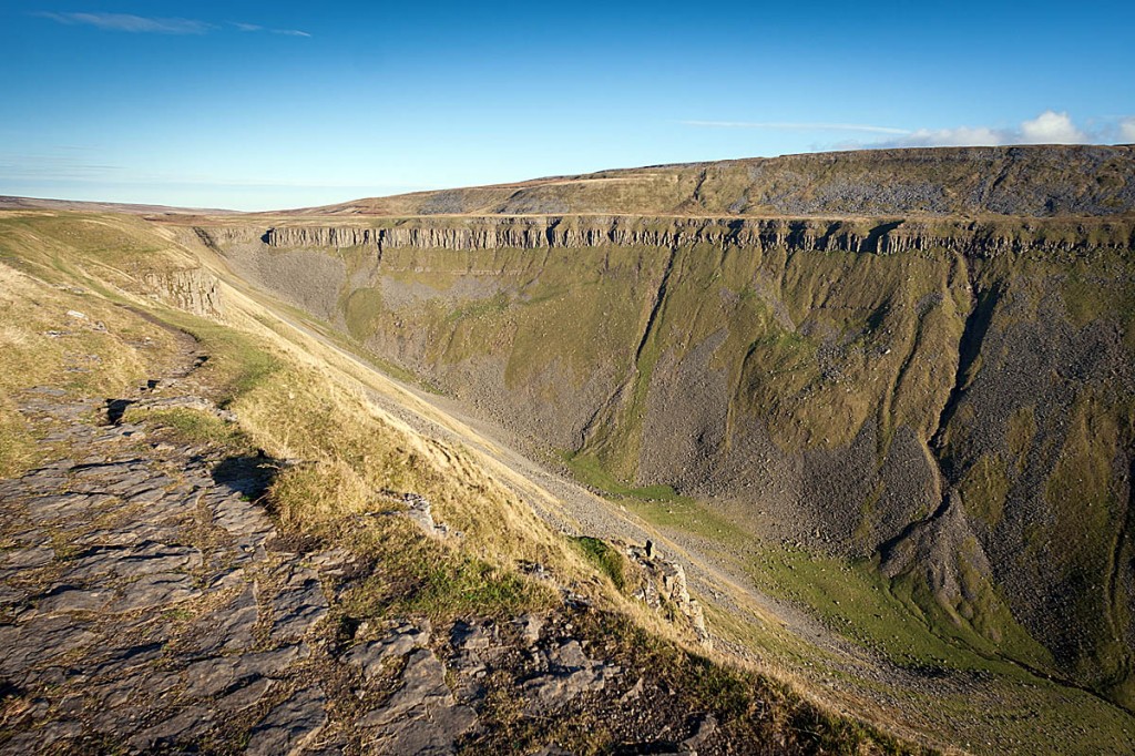
The Dales reports now include areas such as High Cup Nick in the North Pennines. Photo: Bob Smith/grough
A specialist mountain weather forecasting service has upgraded its coverage for the North of England.
The Mountain Weather Information Service has split its forecasts for the Yorkshire Dales and Peak District, and now provided separate reports for each area.
The independent meteorology team said the new coverage will better serve walkers heading up the Pennine Way. It said the Yorkshire Dales forecast region will now also include the North Pennines, previously attached to the Lake District area.
This will improve the service to those following the route of the Pennine Way northwards beyond Swaledale and Middleton-in-Teesdale. The Yorkshire Dales information will cover the national park, the North Pennines area of outstanding natural beauty and also the Forest of Bowland and Ilkley Moor.
Garry Nicholson, forecaster and project manager for MWIS, said: “This change is designed to better serve the popular centres of hillwalking in northern England with locally specific forecasts dedicated to the individual national parks.
Being from the area myself, I know all too well how different the weather can be along the length of the Pennines.
“Every year countless numbers of people head up onto Pennine tops, from Kinder Scout to Bleaklow, the Three Peaks and beyond. Unfortunately, sometimes people come to grief and are caught out by the weather on the hills, which above 600-700m can be very different to down in the valleys.
“The aim of MWIS is to promote mountain safety and warn users about potentially life-threatening weather hazards on the hills.”
The Lake District forecast now covers the entire Lake District national park, taking in all major summits, including Scafell, Helvellyn, Skiddaw, the Langdales and Old Man of Coniston. It also includes the Howgill Fells east of Kendal, which fall within the recent westwards extension of the Yorkshire Dales.
The MWIS Peak District reports include the southernmost Pennines, covering the entire Peak District national park, and also extend north to the South Pennines hills accessed from Hebden Bridge, and the West Pennines hills immediately north of Manchester.
MWIS was established in 2003 to provide detailed weather information for walkers, climbers, mountaineers and skiers heading for Britain’s mountains.
It publishes forecasts for 10 areas, ranging from the northern Highlands to the Brecon Beacons. Its founder and senior forecaster Geoff Monk is now supported by fellow forecasters Garry Nicholson and Calum McColl.
The forecasts can be found via grough’s links page.

Cathy
11 April 2019Only problem is that the Howgills weather is often quite different from the Lake District. In fact it is often closer to the Yorkshire Dales weather. I know because I live there.