Heading for a hillwalking excursion on Britain’s hills in winter is a different prospect from a mountain walk on a nice spring or summer day.
Despite their relatively low altitude, the UK’s mountains can be a hazardous environment in winter conditions, with high winds, freezing temperatures, snow, ice, windchill and avalanche risk.
As well as the right clothing, footwear and gear such as headtorch, winter hillwalkers will need an ice-axe and crampons on the high mountains. They also need the information to help them plan their routes and make the right decisions and that’s where the Lake District National Park Authority’s three felltop assessors come in.
Each day during the winter months, one of the men makes the ascent of England’s third highest mountain Helvellyn to provide observations for walkers and mountaineers on temperatures, wind speed and windchill and ground conditions.
But the assessors now also offer one-day winter skills courses to members of the public to pass on their knowledge and skills to those wanting to extend their experience into winter hillwalking.
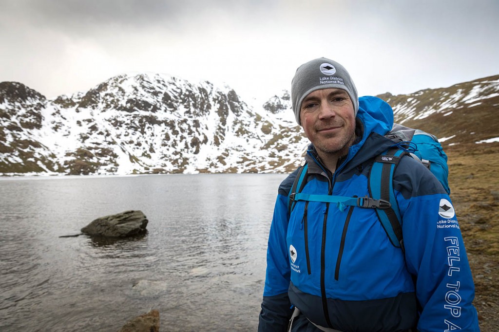
grough was invited to join assessor Zac Poulton, who has extensive mountaineering experience including Everest, Greenland and Antarctica, and who regularly provides safety advice to film companies, on one of the courses.
He outlined the reasons for the national park authority introducing the courses. “What we’re hoping to do is give people some skills, and some knowledge and direction to enable them to go and have their own adventures.
“A big part of this role is about keeping people safe and steering them towards the right options, the right kit, the right choices on the day, and we do that by reporting the weather and the conditions from the top of the mountain but also by running these courses we’re giving them some of those skills and explaining the thought processes we go through to enable them to go out into other areas and use those skills and those techniques and have their own adventures.”
Heading up to Cumbria after a prolonged period of cold wintry weather, it’s evident the national park is in a period of ‘turbo thaw’ as Storm Georgina brings strong winds, rain and, importantly rising temperatures. Will there be enough ‘winter’ on the mountains to practise the skills?
I meet Zac shortly after first light and he kits me out with Petzl helmet, crampons and ice-axe. The French brand is sponsoring the service currently, which means walkers who don’t have their own can hire them at the Helvellyn Basecamp in Glenridding.
From Greenside, we head up in the direction of Red Tarn and Zac outlines what the day will entail. I’m surprised to learn we won’t be sliding around on the snow practising ice-axe arrests and cutting bucket seats. Instead, it concentrates on ensuring you have the skills and knowledge to avoid getting into trouble in the first place.
This one-day course is about preventing getting into the situation where you’re sliding down the mountainside. Zac says 70 per cent of your decisions should be made before you’ve even set out. You should have a weather forecast, evaluate the terrain your planned route takes – does it use gullies or ridges – and gain some knowledge of the nature of the snowpack. The last element is provided in Scotland for several areas by the Scottish Avalanche Information Service but in the Lake District the felltop assessors provide the reports on ground conditions.
Doing your homework before heading out means you’re less likely to be making critical decisions in a difficult situation.
The mountain instructor says you should be ‘bold and start cold’ when you know your route starts off uphill. Don’t layer up to the extent that you’re going to be too warm and sweating into your clothing. Pace yourself so you can keep up a steady rate of walking rather than rushing at the route. You should be able to conduct a reasonable conversation still while ascending.
‘Winterising’ your navigation kit is a good idea. Make sure your map’s in a case and your compass is in a chest pocket, but attached by a short cord to something such as the zip puller.
The ‘faff factor’ will probably slow you down – you’ll be walking in heavy mountain boots and having to deal with more gear than on a summer walk. Packing your rucksack always in the same order will help you know where a particular item is when you need it and reduce delays.
As we walk up the gill towards the tarn, the becks are in full spate, due to the overnight rain and the rapid snow melt. So Zac is asking questions about indicators for conditions. The south-facing slopes have only minimal snow but the east-facing gullies and depressions are holding some snow still, indicating westerly winds on previous days having deposited banks of the white stuff.
In the Alps, wind is less of a factor, but in Britain the snow is almost always wind-blown to some extent. He’s looking for evidence of recent avalanches or cornice collapses. In Y-Gully on Catstye Cam, there is snow near the top, but no evidence of any slides.
The snow here at 450m is soft and sugary. The rocks are wet and not rime-covered, meaning we’re below the freezing level. Zac makes the point that observation is key as you head up your route, and it also enhances the trip, with a greater awareness of what’s happening around you.
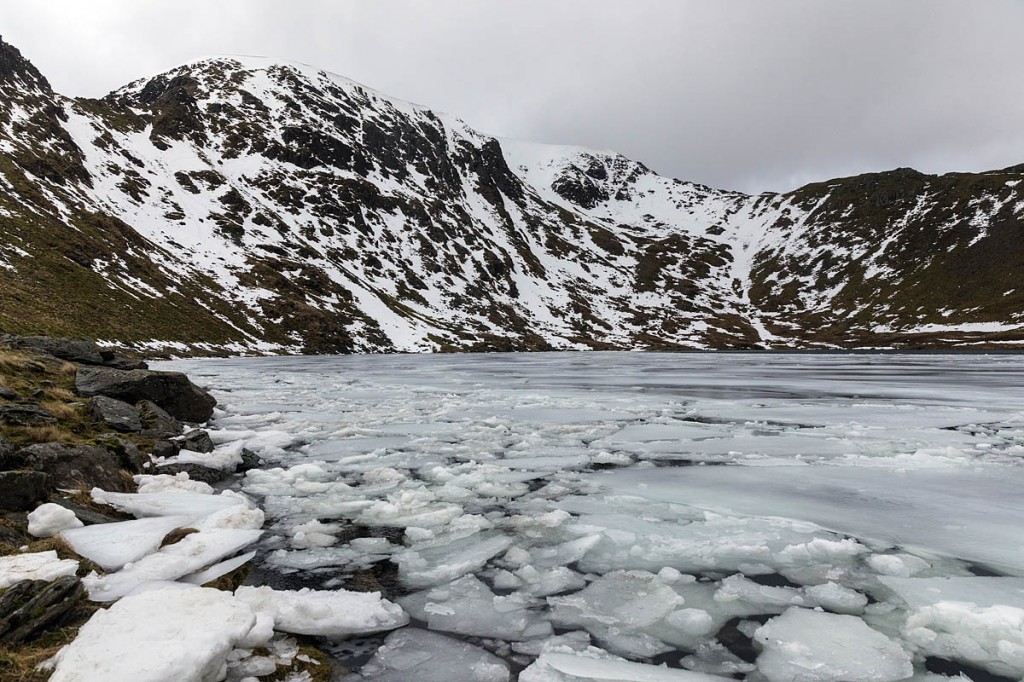
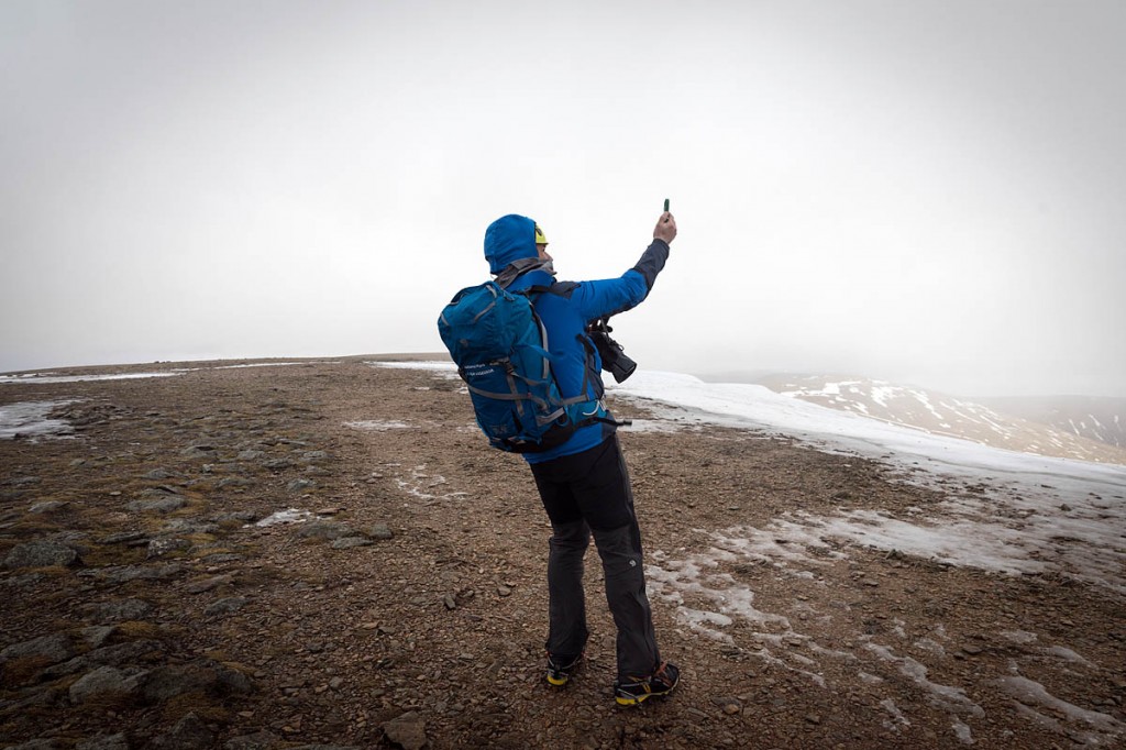
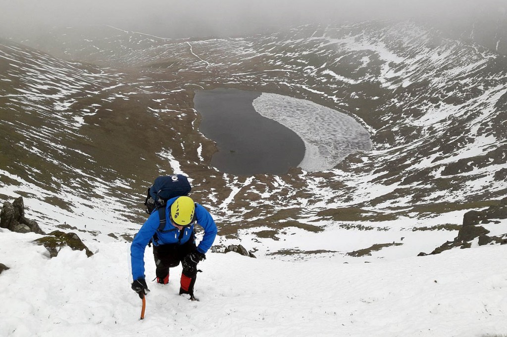
As we reach Red Tarn, half of the lake is still ice-covered, and there’s still a fair amount of snow on the north-east-facing headwall of Helvellyn. The winter skills courses are conducted during the assessor’s normal trip to take readings on the mountain, so Zac pauses to take a windspeed reading and take a couple of pictures for the Twitter feed.
We head along the northern shore of the tarn. The ground isn’t frozen at this level and it’s quite boggy.
As we approach the headwall Zac starts evaluating the snowpack, which is patchy with quite a few areas punctuated by rocks and turf.
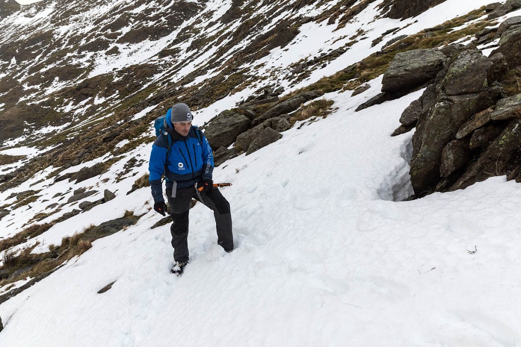
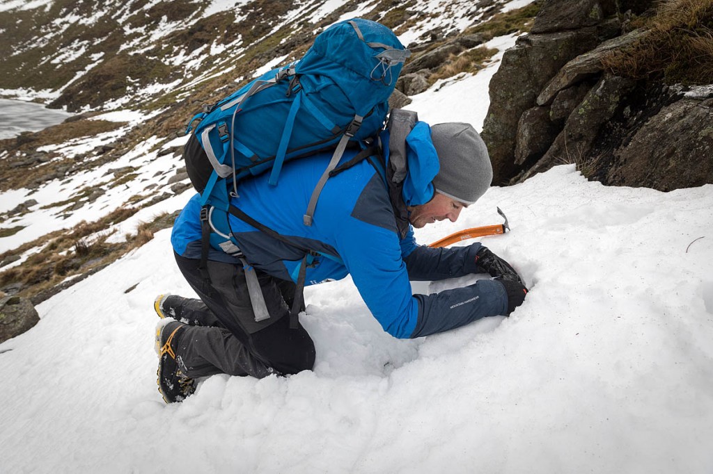
In the old days, an instructor might dig a Rutschblock pit to test avalanche risk. It’s not a technique Zac favours now. It’s time-consuming and, though it will give you a graded risk and is still used for consistency and comparison by those producing the SAIS reports in Scotland, for a winter walker on the hoof, his preferred method is a simple trench created with your feet a few centimetres deep.
If you then make your way above one end of the trench a short distance and walk diagonally down to the other end of the trench, noting where, if at all, the snow pack breaks, this will give you an idea of its stability – or lack of it.
A more involved method is a hasty pit, which again Zac seldom uses but demonstrates. A small amount of snow is scooped out and then, with the ice-axe, a semi-circular groove is created in the snow behind this. This block of snow can then be tested by pulling and seeing where it shears. Today, it won’t budge. The snow is well consolidated in one big layer.
But there is evidence of avalanche activity. There are two areas of debris where snow has slid down our slope. These could have come from the gullies on the headwall or a collapsing cornice.
We talk about the ‘red flags’ of avalanche risk. Are avalanches actually happening? Is there windslab – the windblown layer of snow that often sits on a less stable layer and is the most common element in UK avalanches? Is the slope between 30 and 45 degrees? Ours is about 25 degrees at present and Zac explains most people overestimate slope angle but there’s a handy way of using the ice-axe and leg to estimate it. Where is the freezing level? Are there shooting cracks in the snow? And finally, does it just feel unsafe?
There are also psychological factors involved in why people venture into potentially dangerous ground and we talk about the FACET acronym of risk. Zac points out that avalanche assessment is an odd science: you don’t necessarily know when you’ve got it right; you certainly know when you’ve got it wrong.
Zac determines we’re probably in the ‘moderate’ risk level, so we venture upwards towards Swirral Edge. It’s hard going in the soft snow and I’m grateful for a lunch break taken before we top out on the edge and hit the forecast gales on the summit.
On our route we crossed one of the small debris areas and it was immediately evident how firmly the snow in this had set compared to that surrounding it. You wouldn’t want to be under it.
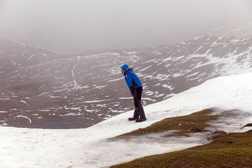
It’s decision time for crampons. Always a thorny choice. Zac says, humans being essentially lazy, we tend to leave it too late to put them on and leave them on too long when they’re not necessary. His determining factors for using crampons and ice-axe are: is it safer using them and is it more efficient with them?
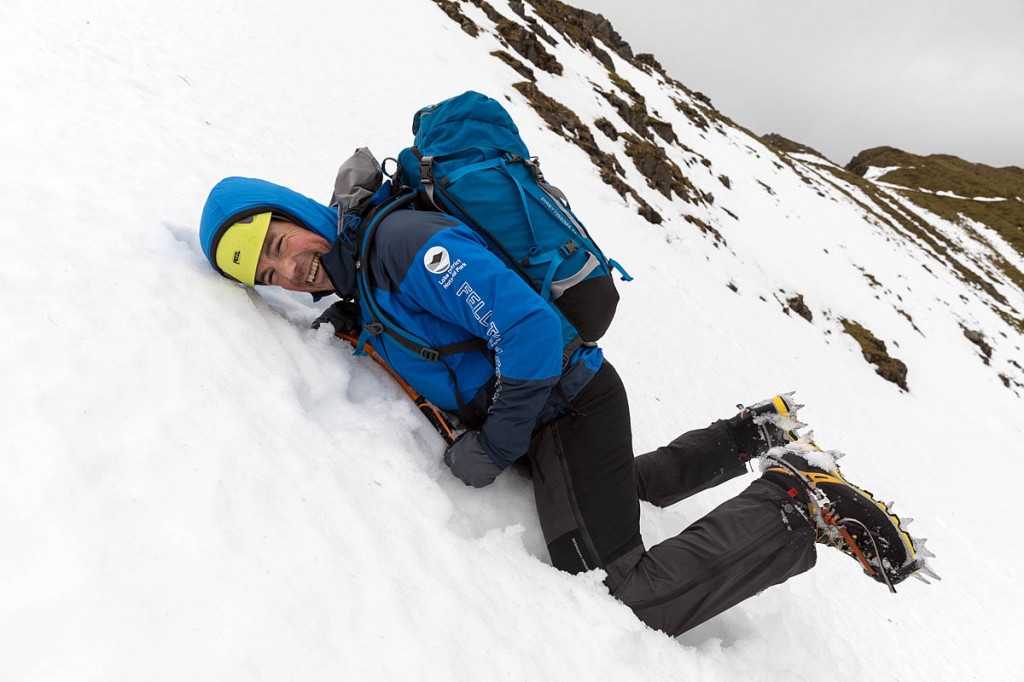
We’re approaching the point on Helvellyn where the freezing point may have dropped to, so it’s on with the crampons for the final section of Swirral Edge which is 25m or so above us. Your winter boots are a tool too, Zac says, and can be used to kick steps and use edging techniques on slopes. The intent is to prevent falling over, either with or without crampons, with good positioning.
Parts of Swirral Edge are soft snow; parts bare rock and others hard compacted snow and ice. With a serious drop both sides, the sharp points of the crampons are essential.
As we top out, the promised westerly wind hits us. We take a cautiously wide berth away from the summit cornice which could collapse and, just as importantly, so as not to get blown over the edge by one of the gusts. At the trig pillar, Zac takes his readings. The temperature is 0.2C; windspeed gusting to a maximum of 56mph and windchill equivalent to -8C. Below the summit, Ullswater can be seen through the mist.
The summit plateau has been almost completely scoured of snow and there are just a few patches of solid ice. Zac takes a cautious trip towards the cornices to see if he can spot evidence of fracture lines and then it’s down to the cross shelter to make his notes for the assessor’s report.
Then it’s time to head back down and, as we cross the plateau back to Swirral, even stronger gusts hit us.
The felltop assessor explains he has rule of thumb for windspeeds: 60mph will make you struggle; 80mph will blow you over; 100mph will make you airborne. It’s approaching 60mph now.
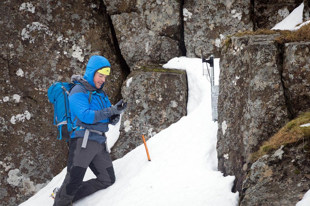
Dropping down a few metres on to Swirral takes us out of the gales and we meet a pair of mountaineers putting on their crampons for their final section of the ridge, one of whom recognises Zac as the ‘new boy’ of the assessor team. We then make our way back down the headwall with a diversion to the location of the new temperature sensor that has been installed to give remote readings to inform winter climbers’ decisions on whether the terrain is in good enough condition to sustain an assault with axe and crampons without damaging the vegetation.
Back down at the tarn, we remove the crampons and the ice-axes are stowed for the walk back down to Greenside. Helvellyn says farewell with a late rain shower as we approach the old mines.
I ask Zac who the courses are aimed at. “The perfect person for a one-day introduction to winter skills is someone who has done some summer hillwalking and they have some idea of what they’re doing in the hills,” he says.
“They can maybe use a map and compass at a very basic level and they’re fascinated by seeing the snow on the tops and have that interest in being up there.
“Or maybe they’ve tried it themselves and had a scare and say ‘I just want to take a step down and do it safely’. So, it’s summer hillwalkers wanting to take that next step.”
A good level of fitness is useful. “A normal day is about 800m of ascent so it’s a reasonably commanding day. We aim to reach the summit of Helvellyn to take our readings. Some days, the weather conditions, the avalanche risk, mean we don’t, and that’s all part of the decision-making process we’re teaching.
“But we aim to get people up on the high mountains to experience the conditions up there. If you’re a regular weekend walker and you can reach the summit of Helvellyn or similar mountains in summer, then it will be a big day, but it’s possible.”
For those who don’t have such a head for heights, there are alternatives to making an ascent via Striding Edge or Swirral Edge, the two ridges that make a classic horseshoe route to the summit and back.
“We don’t have to deal with the Edges,” Zac says. “There are a number of other options, the classic one being Catstye Cam, with a really nice viewpoint; you can see Helvellyn. It has got a lot of fairly benign and friendly slopes to practise winter skills on and you have to climb a mountain, so you do get that experience still. But we don’t force anyone on to the Edges.
“We tailor each day to the nature of the people who come on them: what their background is and what they want to achieve.”
The courses run with a minimum of three people and a maximum of eight and cost £90 per person. Full details, including kit list and other requirements are available on the Lake District Weatherline website, where you can also book a course. http://www.lakedistrictweatherline.co.uk/home/winter-skills-courses
With the winter skills courses, what we’re hoping to do is give people some skills, and some knowledge and direction to enable them to go and have their own adventures.
A big part of this role is about keeping people safe and steering them towards the right options, the right kit, the right choices on the day, and we do that by reporting the weather and the conditions from the top of the mountain but also by running these courses we’re giving them some of those skills and explaining the thought processes we go through to enable them to go out into other areas and use those skills and those techniques and have their own adventures.
The perfect person for a one-day introduction to winter skills is someone who has done some summer hillwalking and they have some idea of what they’re doing in the hills. They can maybe use a map and compass at a very basic level and they’re fascinated by seeing the snow on the tops and have that interest in being up there.
Or maybe they’ve tried it themselves and had a scare and say ‘I just want to take a step down and do it safely’. So, it’s summer hillwalkers wanting to take that next step.
A normal day is about 800m of ascent so it’s a reasonably commanding day. We aim to reach the summit of Helvellyn to take our readings. Some days, the weather conditions, the avalanche risk mean we don’t, and that’s all part of the decision-making process we’re teaching.
But we aim to get people up on the high mountains to experience the conditions up there. If you’re a regular weekend walker and you can reach the summit of Helvellyn or similar mountains in summer, then it will be a big day, but it’s possible.
We don’t have to deal with the Edges. There are a number of other options, the classic one being Catstycam, with a really nice viewpoint; you can see Helvellyn. It has got a lot of fairly benign and friendly slopes to practise winter skills on and you have to climb a mountain, so you do get that experience still. But we don’t force anyone on to the Edges.
We tailor each day to the nature of the people who come on them: what their background is and what they want to achieve.
The courses run with a minimum of three people and a maximum of eight and cost £90 per person. Full details, including kit list and other requirements are available on the Lake District Weatherline website, where you can also book a course.
Dave Evans
02 February 2018The problem with the simple trench and walk snowpack test described is that it does not tell you enough about the layering in a deep pack. Rutschblock tests are time consuming but there are quicker variations. If you are venturing out on a susceptible slope where there may be significant depth and perhaps a thick hard windslab sitting on graupel or soft unconsolidated snow the test described may well not reveal this. Such slopes are probably more common in Scptland but can develop in Lakes as well. The time taken to be more thorough might save your life.
Ian
08 February 2018I didn't see the recent Julia Bradbury programme when Helvellyn was voted Britain's Best Walk but I guess it didn't refer to this excellent initiative.
Nick S
10 February 2018As it happens, the director of the 100 Walks programme (me) has been up on Helvellyn in winter conditions with a previous felltop assessor. Much as I would have loved to refer to that, there simply wasn't time enough in the show ... the nature of which (a top 100 countdown) is not a detailed study of given walks.... more a taster to inspire people to get out there.
Nigel
11 February 2018#Nick S,
Yes, the program may have been a "taster to inspire people to get out there" but, and it's a very big but, many of the people will have been inspired to 'get out there' without the slightest insight into dangers they're potentially walking into or what precautions they can take to make sure they get back down under their own steam and in one piece.
At face value it's just walking up and down hills, but as anyone who walks in places like Helvellyn every week of the year will tell you, there's much more to it than that. Especially at this time of year.
I wonder how many avoidable rescues will take place as a result of this program.
Nick S
12 February 2018Nigel, probably none. MRTs get called out to many experienced hill walkers ... especially at this time of the year. We did invite Patterdale MRT to come and beinterviewed about Helvellyn and mountain safety. They didn't come.
Margaret
20 February 2018Nick S - probably some.