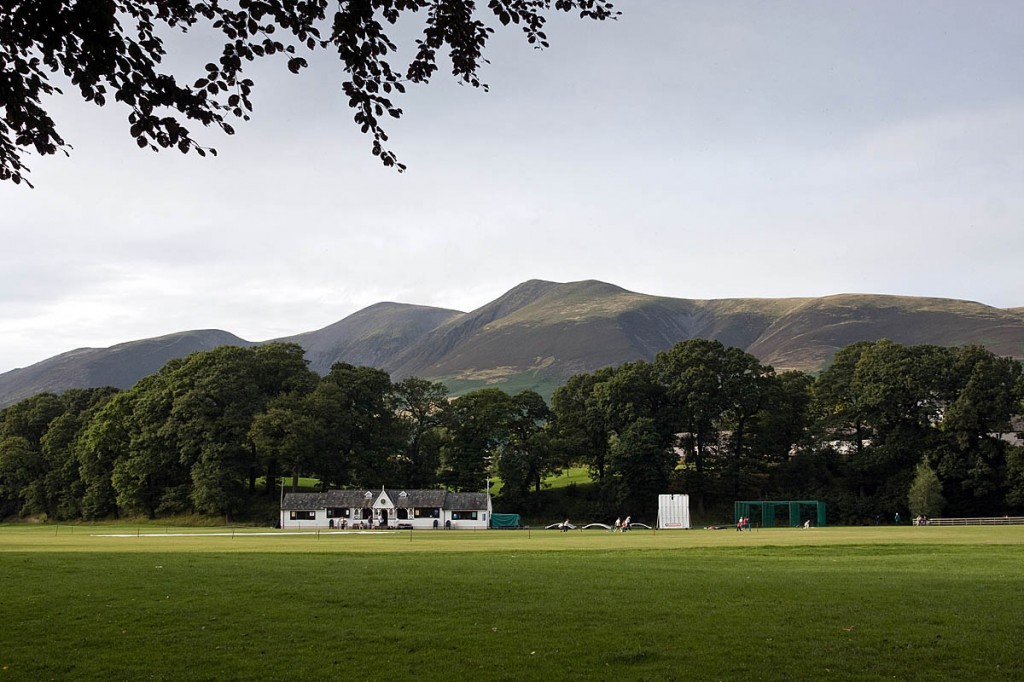
Britain’s national mapping agency has released new data that details the country’s green spaces.
The Ordnance Survey mapping and dataset is aimed at encouraging more people to get active in green areas.
The Southampton-based agency said: “The free map contains data from OS and other sources, and can be used immediately, for free, through OS Maps. This comprehensive map of Great Britain’s greenspaces is also available as an open dataset, called OS Open Greenspace, for communities, businesses and developers to create products and services that will encourage healthier and greener lifestyles.”
OS chief executive Nigel Clifford, said: “Geospatial data can transform Governments, businesses and communities for the better.
“I’m particularly proud of this product as it delivers valuable information to the public, enabling people and families across Great Britain to discover the greenspaces near them. I am excited to see how people experiment and work with the data and look forward to seeing new products and services to help encourage an active Great Britain.”
OS has worked with a number of non-government organisations and government partners to compile the OS Open Greenspace dataset and digital map.
It said the location and extent of recreational and leisure features and, for larger sites, their access points are accurately depicted within the dataset. Example features included in the data is every public park in Great Britain, every play space, playing field, golf course, public garden, bowling green, allotment and more.
OS has also produced OS MasterMap Greenspace, a public-sector version of the Greenspace map made available through the public-sector mapping agreement and One Scotland mapping agreement.
But campaigning organisation the Open Spaces Society, said the new data and maps fail to deliver the Government’s commitment to map ‘all open-access green space’ and could be misleading.
It said the database does not discriminate between public open spaces and land used exclusively for private recreation. Public and private golf courses are both shown as accessible greenspace, as are allotments, private school recreation grounds and private sports facilities such as bowling greens, it said.
Hugh Craddock, one of the society’s case officers, said: “We welcome progress towards making open space more visible, accessible and attractive to all.
“But the new greenspace data are more likely to confuse than clarify. The data will show a golf course on common land with a statutory right of access in the same way as an exclusive, private golf course, but the latter might be accessible only to members or on payment of a £150 green fee.
“Many other areas of greenspace are also inaccessible to the public: allotments, private school playing fields and private sports facilities, but these too are mapped with no indication of whether the public can use them, and if so, on what terms.
“This is not what the public will understand as ‘open-access greenspace’. Users of the new database risk being seriously misled, and owners of private facilities aggrieved, if the public rely on the data to identify open-access land.
“Yet, ironically, the database ignores most of our truly open access greenspace: extensive areas of open country and common land to which there is a right of access under the Countryside and Rights of Way Act 2000.
“The Ordnance Survey and the project sponsor, the Department for Business, Energy & Industrial Strategy, should immediately commit to work with stakeholders to refine the data and publish a database of truly accessible land in Great Britain.”
An Ordnance Survey spokesperson said: “The new OS Greenspace datasets, and OS Maps layer, have been released as alpha versions.
“Both OS Open Greenspace and OS MasterMap Greenspace will be continually maintained and updated, and OS are committed to working with customers to ensure the information is accurate and up to date.
“Ordnance Survey has always mapped and recorded these features within its national geospatial database, but this is the first time they have been categorised like this, making it easier for users to locate and access greenspaces.
“The dataset shows the extent of greenspaces, including sporting facilities, and aims to encourage people to participate in leisure activities at these locations. For example, golf courses, bowling greens and tennis courts are included by being sports and recreation facilities. It is true that public access to these will be variable, so as with other sports sites there is a need for people to check use and access conditions first.
“The dataset does not include national parks, countryside or other rural and agricultural land. In addition OS Open Greenspaces does not include woodlands as these are already clearly identifiable, and marked on OS mapping.
“We are always keen to hear from our customers and invite anyone who has any questions or concerns about the database to contact the OS customer service team. mailto: customerservices@os.uk We hope people will experiment and work with this data to create new products and services that help us become a more active nation.”
- grough is a commercial partner of Ordnance Survey which uses OS data and mapping in its grough route mapping and route-planning service.
- grough also produces its own open-source mapping through its groughmap product.

Andrew Marshall
14 July 2017I know slightly off topic but what ever happened to Grouphs new super duper maps????? As what I just looked at is TERRIBLE almost now labelling of features and MISLABELING of others!
timbo
14 July 2017I've just had a look at this layer on OS maps for my local area and it is an absolute joke! Nearly all the identified sites (Bowling clubs, golf clubs, allotments) are not public access, whereas the large areas of publicly accessible woodland (National trust and Council Owned) are not marked.
I think the criteria for this layer has been very poorly defined. Misleading at best and potentially could cause much confrontation and aggro.