Grough is 10 years old!
Our domain name was first registered in April 2006 and shortly after this we started posting stories and features on our online magazine, so we thought it was time for a little celebration.
To mark a decade of bringing outdoor enthusiasts the best in news, views and reviews, we’re slashing the cost of our fabulous mapping and route-planning service for a limited period.
A year’s subscription normally costs a bargain £19.50. For this, you get unlimited access to Ordnance Survey mapping at 1:25k, 1:50k and 1:250k of the whole of Great Britain, from the Isles of Scilly to Shetland; from Lowestoft to Treginnis, as well as OS StreetView and OS VectorMap District mapping.
To help us celebrate our 10th birthday, we’re offering a 365-day subscription for half the normal price – £9.75.
For the cost of three pints of beer, you can enjoy for a whole year the use of our route-planning system, which allows you to create walking, cycling or running routes online using OS maps, save them and print them out on an A4 sheet to take with you on your next adventure. And you can still buy that round, using the money you’ve saved!
You can also use one of the thousands of ready-made routes created and shared by existing grough route users in both the popular walking areas and those hidden gems of the outdoor world. There are also points of interest added by users, with locations of pubs, viewpoints, campsites and bunkhouses.
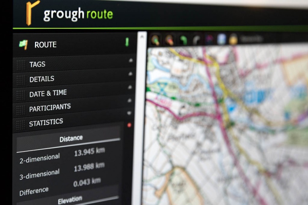
You can create your own library of routes, either sharing these with other subscribers or keeping them private. grough route also allows you to create route cards to help you find your way or to leave a note of your intended walk, view a profile of your route and tailor timings to your own particular speed over given terrain types.
Grough route has been developed by outdoor enthusiasts for fans of walking, cycling, running and any other activity that means you need detailed mapping and functions to enjoy your time outdoors.
And now, it’s an even better bargain! But be quick, because this offer won’t last long. And it could be another 10 years before we decide to be so generous.

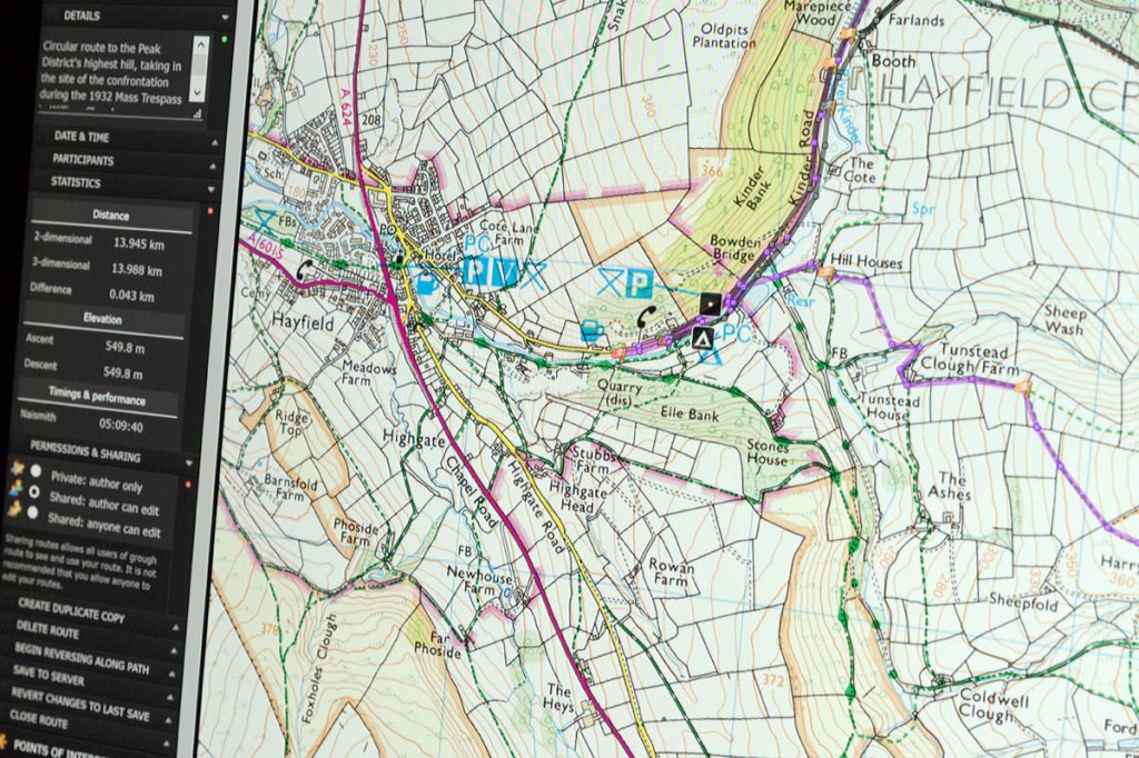
grough route gives subscribers access to Ordnance Survey mapping of the whole of Britain at 1:25k, 1:50k and 1:250k
Grough route subscribers will soon also be able to plan their outings on the brand-new grough map, our very own cartography, which has been more than two years in its development, and is tailored specifically to help walkers, mountain bikers and other outdoor enthusiasts get the best from their trips on the hills and in the countryside of Britain.
Details of subscriptions and how to join the growing number of outdoor enthusiasts using our mapping system are on the grough route page.

