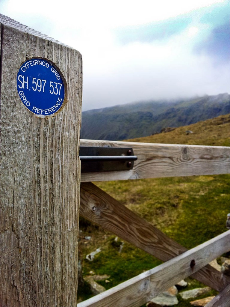
A group of walkers was guided to safety using grid reference markers on a gate post, after getting lost on Wales’s highest mountain.
Llanberis Mountain Rescue Team was contacted by police on Sunday when a family group became disoriented while trying to descend Snowdon.
A team spokesperson said: “The group had followed the railway down to Bwlch Glas before accidentally following the Snowdon Ranger path.
“Fortunately the group had encountered one of the gates on Snowdon which were marked with a six-figure grid reference as part of the MynyddaDiogel Eryri – MountainSafe Snowdonia project.
“Using the grid reference provided, the co-ordinator was able to give route advice and the group descended safely without further MRT assistance.”
A short time earlier, the Llanberis team was called out to aid another group lost on the mountain.
The four walkers had completed a traverse of the scrambling route along Crib Goch and then became disoriented.
The spokesperson said: “We successfully located the casualty party in the Bwlch Coch area by using the Sarloc rescue system.
“Two teams of five were then deployed onto the hill and quickly found the lost walkers. The walkers were then assisted down to the team vehicles at Llyn Llydaw.”
The Sarloc system, developed by former Ogwen Valley Mountain Rescue Organisation member Russ Hore, sends a link to a person’s smartphone which, when clicked, enables rescuers to pinpoint their position.
