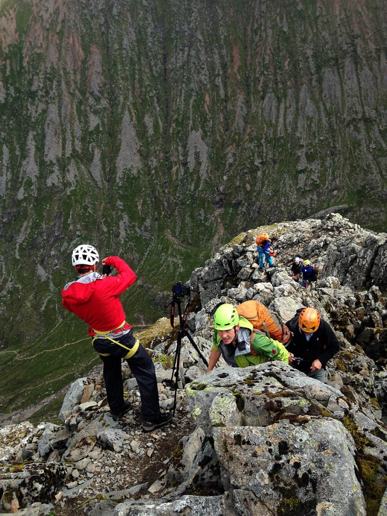
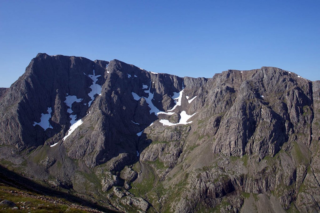
Mountaineers will join geologists and botanists in a second survey of the UK’s highest mountain.
Climbers are asked to be aware that members of the survey team will be abseiling long routes on Ben Nevis’s North Face next week.
The project is in the second of five years and will cover about 125ha (309 acres) of the mountain, looking at rare plant species and geological features in a quest to increase understanding of the mountain environment.
The Nevis Landscape Partnership, which is managing the North Face survey, warned there is a small chance of rocks being dislodged while climbers are abseiling on Ben Nevis, but emphasised the survey will be using a ‘leave no trace’ approach.
A partnership spokesperson said: “The mountain is affected by changing climatic conditions and from the collective pressure put on it by the thousands of people that come to experience it every year.
“The data that is being collected will provide a more accurate record of the current designated sites and understanding of the processes that formed the Ben and its surroundings millions of years ago.
“This will develop our knowledge of geological processes such as cauldron subsistence and the resulting influence on the landscape we see today.
“This knowledge can then be passed onto the many people that access Ben Nevis through guided instruction from the local activity providers and by ongoing promotion by Nevis Landscape Partnership.”
The partnership is working with Scottish Natural Heritage, Midland Valley Exploration, Abacus Mountaineering, professional botanists, the John Muir Trust, Highland Council and local volunteers on the survey.
It will take place between 10 and 14 and there will be signs on the mountain warning of the activity.
Ben Nevis : The Hidden Side from Nevis Landscape Partnership on Vimeo.
The Nevis Landscape Partnership programme is a five-year, £3.9m scheme, with 19 projects aiming to encourage the public to engage with the natural and cultural environment of both Ben and Glen Nevis.

