Mention a Spanish holiday to most people and a vision of pale British flesh roasting on a beach on one of the costas is likely to spring to mind.
But there is a corner of Spain where the visitor will be more interested in mountains and trails than nightclubs and bar crawls.
Sandwiched on the northern coast of Spain, between Galicia to the West and Cantabria to the East, the modest-sized province of Asturias packs some impressive scenery into a fairly small area.
It’s part of what’s become known as Green Spain: the stretch of countryside under the influence of the maritime climate influenced by the Bay of Biscay and its southern reaches the Cantabrian Sea.
Asturias has a long tradition of independence of mind: it was never overrun by the Moors unlike most of Spain and the reconquest by Christians – the Reconquista – of what is now modern Spain began in the ancient kingdom.
In 1934, Asturian miners staged an armed uprising against the right-wing Spanish government and this was brutally put down by a certain General Francisco Franco.
There is still industry in the principality, with steelworks and coal mines being major contributors to the local economy though, in common with much of western Europe, the latter is in decline as cheap imports eat into the viability of the pits.
Avilés, the nearest city to the international airport, is still heavily industrial, and the region’s major port and biggest city Gijón is still largely commercial. Oviedo, the principality’s capital, has many fine buildings and is probably a better bet for a stroll.
Oviedo is also the starting point for the ‘primitive route’ of the pilgrim’s trail the Camino de Santiago de Compostela. This St James’s Way is probably the best known reason for walkers to traverse Asturias, whose King Alfonso II began the tradition of walking the route to the reputed resting place of the apostle St James in Galicia. A more northerly route skirts the coast of Asturias.
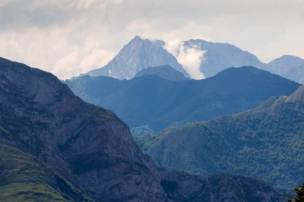
The other attraction likely to be known to UK visitors to the region are the Picos de Europa, the towering limestone mountains so named because they were visible to mariners returning to the continent and were a sign they were approaching home.
These high mountains are in the East of Asturias and straddle the border with Castilla y León to the South, rising to 2,650m (8,690ft), almost twice the height of the UK’s highest mountain Ben Nevis.
There are plenty of other mountain attractions for walkers in Asturias. The Picos were designated a national park in 1918, but there are also five natural parks with impressive Alpine scenery. Within Asturias there are also other protected areas: biosphere reserves, natural reserves and natural monuments. If you’re lucky, you might get a glimpse of the shy Cantabrian brown bears that inhabit parts of the mountain region. Capercaille can also be seen in some areas.
There are also gentler coastal walks and on the first day of our three-day flying visit, we met Diego, a proud Asturian from the Geoface guiding company who had a comprehensive knowledge of his environment, history and culture.
Coastal walk
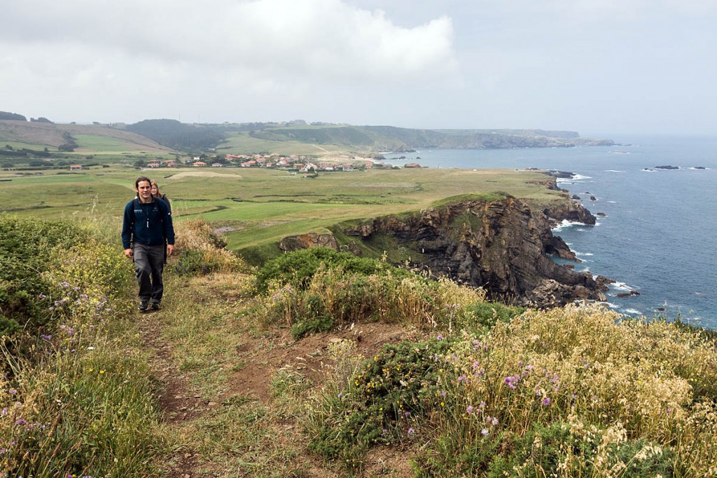
The walk began at Verdicio, about 8km (5 miles) north-east of Avilés. Forget high-rise apartments and tacky bars, this coastal region of Spain is more reminiscent of the South-West of England, with coves, promontories and small, unspoilt beaches.
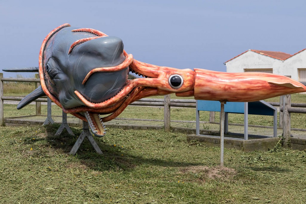
Diego explained that the Carrandi trench begins almost immediately offshore, is up to 6km deep, and is home to whales and the giant squid, responsible for tales of the Kraken, the sea creature feared by mariners across the globe.
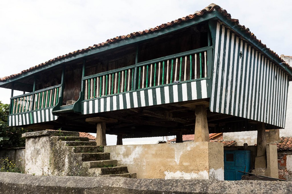
The green nature of Asturias was much in evidence as we walked up the sharp rise towards the promontory of Cabo Peñas with lush vegetation either side of the path. Many of the dwellings have separate granaries. The hórreo is usually the smaller of two types and its roof rises to a single apex. The larger panera has a ridged roof. Both were used for storing grain and other food, and stand on stone or wooden pillars. Their steps never fully reach the doors so mice are prevented from reaching the store.
We passed several waymarks. The convention is that shorter routes are marked in yellow and white, and longer ones in red and white. There are also several coastal routes popular with cyclists.
Our immediate objective was the former lighthouse, the Faro de Cabo Peñas. In the bay, a fishing boat was out after a catch while on the cliff tops and angler was hoping for a haul of monkfish. The route was easy to follow and could be walked comfortably in approach shoes or trainers.
The lighthouse is now a marine visitor centre, adorned outside with fearsome glass-fibre models of sea life, including a battle between a giant squid and a whale. Unfortunately, the centre was closed to visitors on the day we were there.
A larger than normal lunch followed, with the inevitable paella, even though this is traditionally a dish of Valencian origin. A more leisurely pace ensued, following the coast through Moniello Bay to the fishing village of Luanco, which also has an extensive beach that was, until recently, the scene of a major beach tennis tournament.
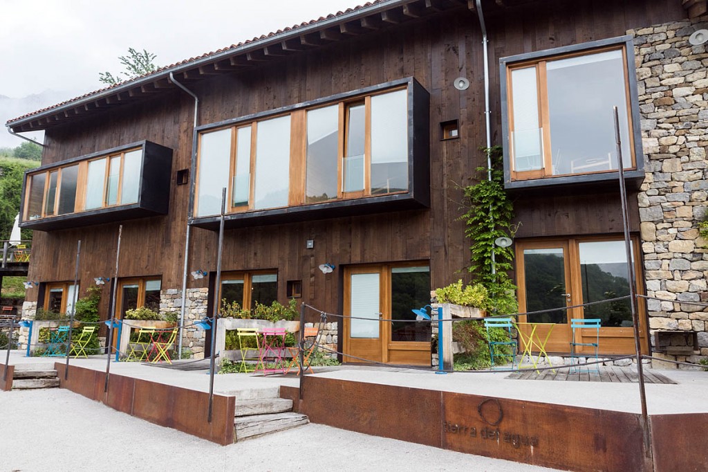
Our hosts from the Asturias tourism office had arranged a stay at the Tierra del Aqua – Land of Water – at Caleao in the Redes Natural Park. As we headed towards the park, we passed several coal mines and industrial areas before the scenery became more mountainous as we headed south away from the coast.
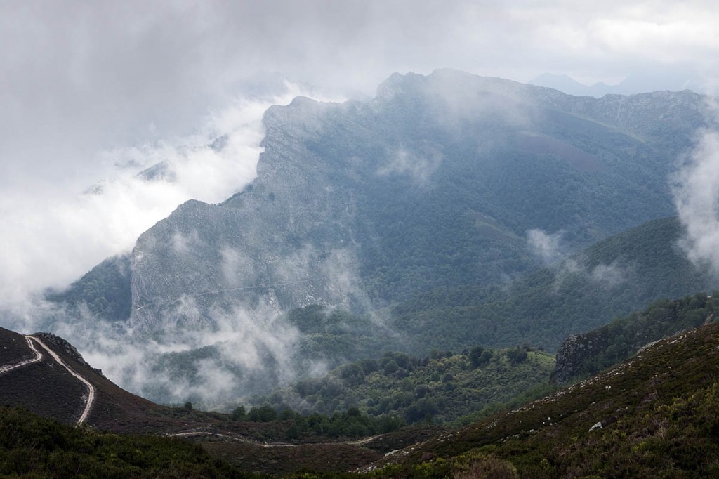
The route passed through narrow gorges hemmed in by high limestone mountains. The tree line goes right to the top in many cases.
There followed a hairy drive up the narrow road hemmed in by buildings to Tierra del Agua, whose apartments have been created on the site of an old farm and afford views of the mountains opposite. The sound of cowbells drifted across the valley and low cloud hid then revealed the upper cliffs. The complex is very modern inside and green too, with geothermal heating and LED lighting, and is furnished in a Scandinavian style. Staff were friendly and helpful and food good.
Mountain walk
We were picked up by our taxi driver for the morning from Tierra del Agua. But rather than the plush Mercedes people carrier, this was a more rudimentary 4×4. The group of journalists enjoyed the relative comfort of the front seats with the hardy Spaniards in the rear.
And off we trundled into the Redes natural park.
At the hamlet of Infiesta, the road rose steeply and started winding through more narrow spaces between the houses and then into the forests as the road petered out into a rough track. Ahead, a pair of farmers were heading into the mountains on their quad to check their cattle.
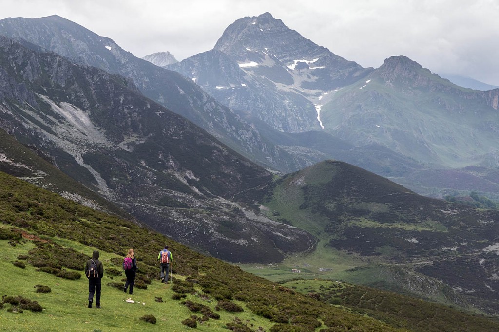
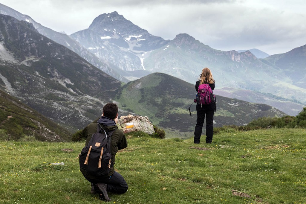
We passed into the cloud, with more hairpin turns in the track as we slowed to a walking pace. Eventually, we left the cloud below us and the trees ended, giving a fine view of the Canto del Oso mountain which, our guides Mario and Alex said, was a favourite trekking destination.
Journey’s end, at least on wheels, came just below the col, Collado del Acebal, near the Lago Ubales in the shadow of Cascayón. If you want to follow our motorised method of climbing to the col, there are local four-wheel-drive taxis that will cost about €70 for the trip. Walking the route will add about three to four hours to your journey.
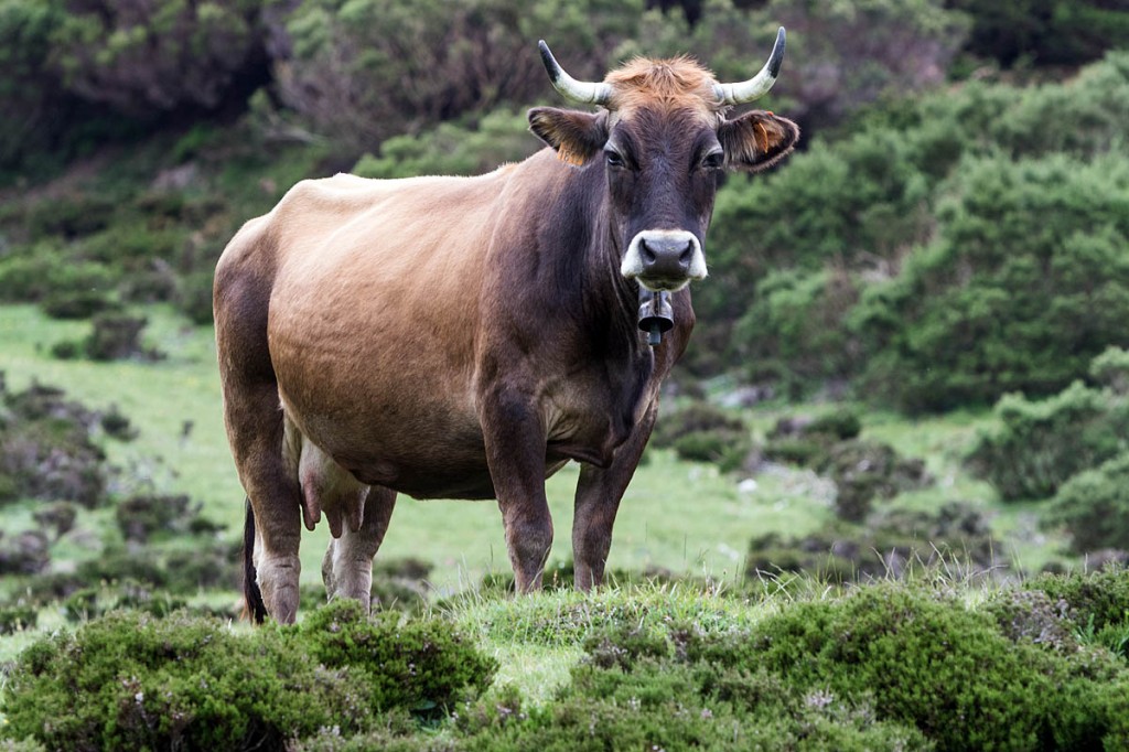
At almost 1,700m (5,577ft), we were higher than anything in the UK and it was quite nippy. As we ascended a slope up to the lake, there was a ringing in my ears. Was it the altitude or more likely the cowbells worn by many of the four-legged inhabitants of this upland pasture?
Back down to the col and the wind was whipping over it and chilling us. “We have to move on,” Mario said. It was the start of our long descent. Ahead was the highest peak in the Redes park, Pico Torres, at 2,104m, approaching the 7,000ft mark.
It’s also a restricted area because of the sensitive ecology of the area. On the high crags, vultures were circling on the winds.
Our route took us from the high col down the Arrudos gorge, and the upland pasture soon gave way to gorse and heather. The huts, mostly ruins but a couple intact, at Moyones showed signs of recent occupation. There were empty wine bottles in the wall recess of one of the huts, the tiles of which had stones placed on them so they don’t blow away in the wind.
These majada were traditionally used by shepherds during the summer months, when whole families would decamp from the valley to the mountain pastures to care for their cows. One of the huts even had a little enclosed vegetable patch.
There was a debate on whether it was lunchtime but the consensus was that we could walk a little further. Before long, we reached another majada, on a small grassy plateau surrounded by the lush vegetation of the gorge. One of the plants, Gamón, was formerly used as rennet in cheese production.
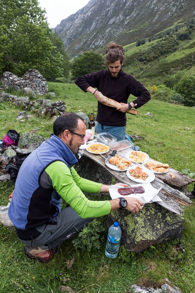
It now became evident why Alex was carrying such a big pack. Mario found a couple of old planks which formed a table over two boulders and lunch was served: a bottle of wine, two bottles of the local cider, copious servings of meat pasties, the thick potato omelettes that are a speciality of the area, cured meat, cheese, a loaf of bread and wild boar. All this with paper plates and plastic glasses. We had to agree it beats our usual squashed ham sandwich and cereal bar.
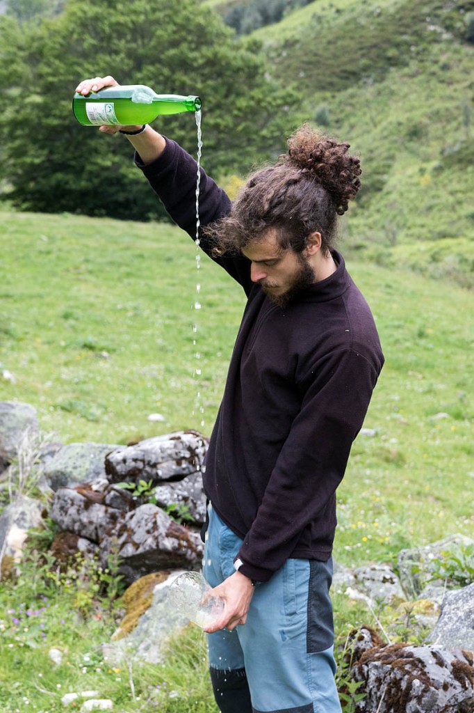
Alex, who is a guide with Lobo Nómada, struggled in the wind to perform the traditional pouring from a height of the local cider, done to induce some sparkle into an essentially flat drink.
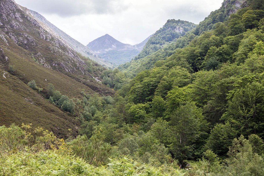
With lunch over, the journey down the gorge continued, into the green and steep-sided valley, with numerous waterfalls cascading down the hillside. The area is also famed for its countless beech trees, some of which are hundreds of years old.
At the end of our 13km walk, we re-entered Caleao and bade farewell to our guides and awaited our transport to the next overnight stay. Typical prices for a guide’s services for the day are about €150 for a small group.
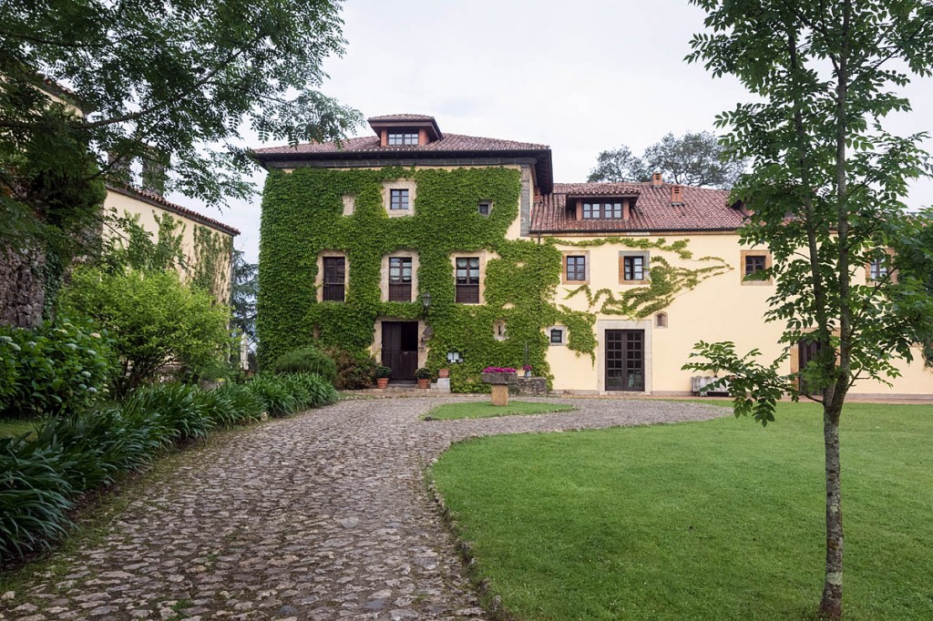
We were then driven north to the Palacio de Cutre, near Villamayor. This 16th century former manor house overlooks the valley of the River Piloña and has views to the Picos de Europa, our destination the following day.
The palacio felt like half-hotel, half-museum, with an eclectic mix of furnishings from across the centuries, including an antique cradle. We half expected it to rock itself in the middle of the night. Each room is unique, and there’s even a chapel in the grounds if you feel the need to hold your own religious ceremony.
Food and service were excellent, and the historical surroundings were backed up with the modern convenience of en-suite bathroom and wi-fi internet access.
Picos de Europa: the Cares Gorge
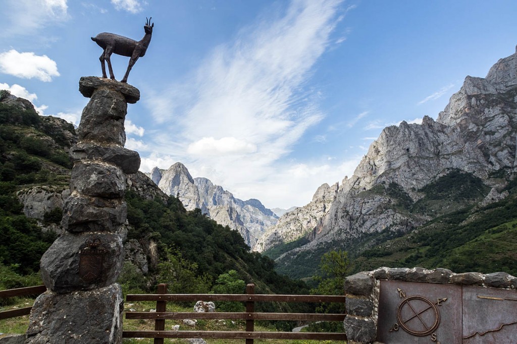
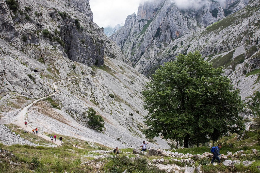
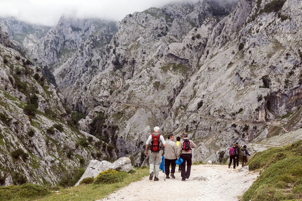
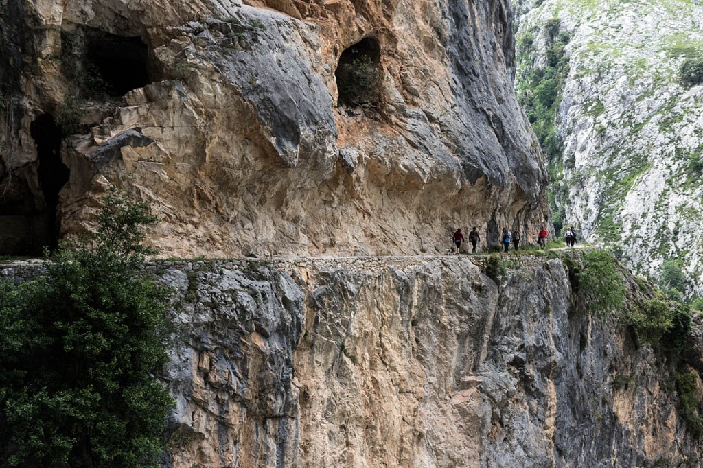
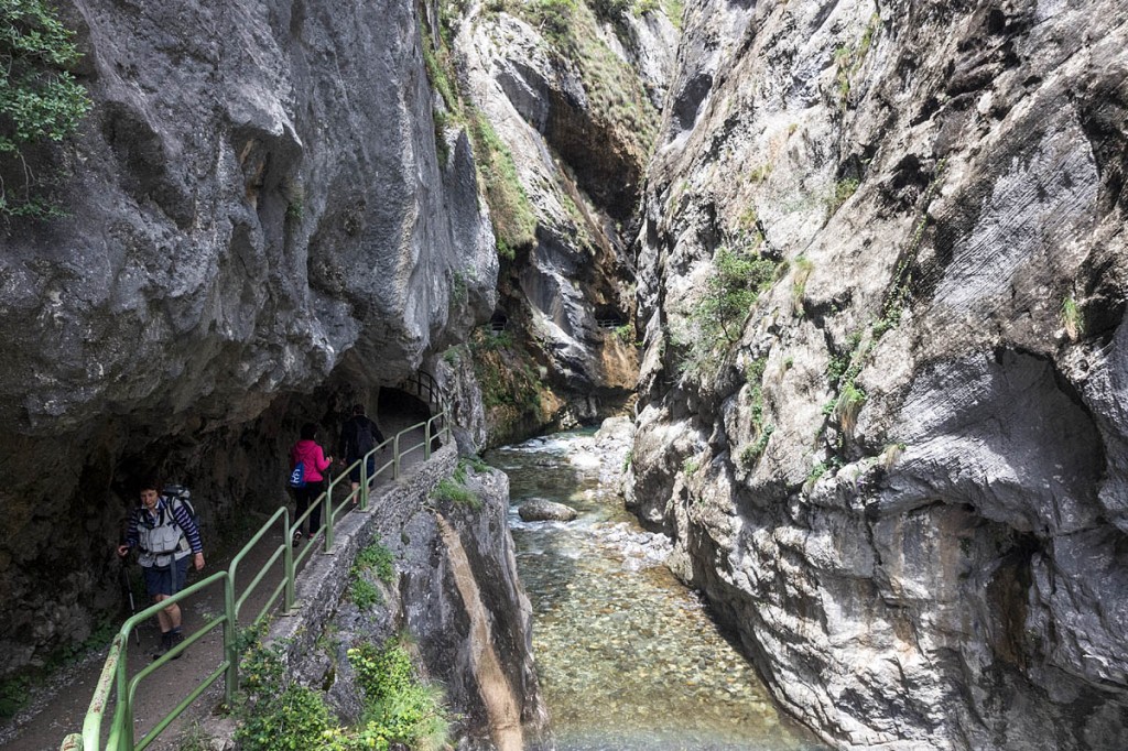
In the morning it was off for our final day’s walking in the Picos de Europa, through the spectacular Cares Gorge. This deep cleft splits two of the three main massifs of the range, the central and western chains, and is up to 1,800m (5,900ft) deep in parts, its huge limestone crags towering above an, at times, vertiginous corniche path cut into the rock.
Our guide for the day was Javier, from Birding Picos de Europa. Starting point was Poncebos, little more than a hotel and bar, with plenty of parking places before the road ends a couple of hundred metres beyond the settlement.
This is a very popular route, and on our Saturday walk, there were literally hundreds of happy hikers, including parties of singing school students and families. It should be noted that, though the route presents no technical difficulties and there is no scrambling, there are huge unprotected drops close to the path at various points, so care should be taken with foot placement.
Javier explained that the Senda del Cares owes its existence to the Spanish-American War at the end of the 19th century. The destruction of the largely wooden Spanish fleet by the modern US ships in the Battle of Santiago de Cuba prompted Spain to embark on a programme of building steel-hulled ships.
Civil engineers built a mountain canal from Caín to Poncebos to feed a hydro scheme powering steelworks and the maintenance track used during its building and subsequent care is now used by thousands of walkers each year. If you’re after solitude, July and August are probably best avoided, particularly at weekends.
Javier handed out binoculars to those who hadn’t brought them. The gorge is a haven for birds, including black redstart, crag martins, golden eagles, short-toed eagles and griffon vultures, which were soon in evidence wheeling around the tops of the high crags.
You’re also likely to see chamois and lots of feral goats, once cared for by shepherds but now left to their own devices. Wolves also populate the area.
The main ascent of the day was up to the col at Los Callaos, 500m up, where there are information boards in Spanish telling the tale of the building of the path and canal.
Los Callaos, Javier explained, is where the real gorge starts. He pointed out rudimentary folds built into the cliff faces by shepherds in years gone by to provide shelter both for themselves and their animals. These are now abandoned – the harsh life no longer appealing to a new generation of Asturians.
The signs along the route give information measured in hours rather than distance. The 15km (9-mile) walk to Caín will take about three hours.
Red routes lead off on more serious routes up side gullies from point to point, but the Ruta de Cares can be walked by anyone of moderate fitness who doesn’t baulk at walking beside a steep drop.
At our lunch stop half way along the gorge, Javier told the tale of the area’s two lammergeier or bearded vultures, Deva and Casanova, re-introduced into the Picos at a cost over five years of €1.2m. GPS-tagged birds have been known to fly to a height of 9,000m (29,500ft) and are able to subsist on a diet of bones, left on the high mountains by predators such as wolves and eagles when they have devoured their prey’s flesh.
They are notoriously difficult to persuade to breed. Perhaps Casanova will prove the exception. Javier said he believed the pair may have moved out of the central area of the gorge towards the southern end near Caín. Two other lammergeier are known to visit the area too.
Javier’s forte is knowledge of the fauna of the area and his guiding skills can be hired for about €120 for a group.
Every turn of the path revealed another breathtaking view as its end neared. Towards the southern end, once passing out of Asturias into Castilla y León, the ravine starts to narrow and bridges lead the path briefly on to the eastern side before returning to the western flank and diving into a series of short tunnels before emerging across the dam at the reservoir at Caín.
There are inns at Caín providing accommodation and refreshment. The only realistic walking route back to Poncebos is to retrace your route back through the gorge, but there are a couple of local taxi firms that will drive you back round, which is a lot longer route than the 15km on foot.
Prices work out about €35 to €40 each for six people sharing the vehicle. Details are on the Taxi Angelin or Frontera Verde websites.
The major bus company ALSA also provides one-way services in peak season, from 11 July to 6 September, leaving Caín at 3.30pm and 5pm, costing just under €13.
The ‘divine gorge’ is a natural wonder and its scale is way beyond anything encountered in the UK with its mile-deep ravine and soaring limestone peaks. No visit to the Picos de Europa would be complete without a trip along the Senda del Cares.
Asturias offers outdoor fans a chance to explore a side of Spain that seldom figures in the usual tourist itinerary. The walking is as easy or as challenging as you want to make it, but the natural wonders, both in its landscape and flora and fauna, make it an ideal destination for the trekker ready to push his or her horizon outside the UK.
The Instituto Geográfico Nacional produces 1:25k and 1:50k maps of the area and there is an online shop. Maps can also be bought from: Ministerio de Obras Públicas, Plaza España, 3 1º, Oviedo. Phone (00 34) 984 76 93 35. Open from 9am to 2pm; Librería Cervantes, Doctor Casal, 9 bajo 33001 Oviedo. Phone (00 34) 985 20 77 61, open Monday to Friday from 10am to 2pm and 4pm to 8.15pm and Saturday from 10:30am to 2pm and 4.15pm to 8.15pm.
Grough flew to Asturias International Airport from London Stansted by EasyJet courtesy of the Spanish Tourist Office. You can find out more by emailing their London office.
Our accommodation, transport and guiding services were provided by the Asturias Tourism Authority. More details about the region are available on the authority’s website.
