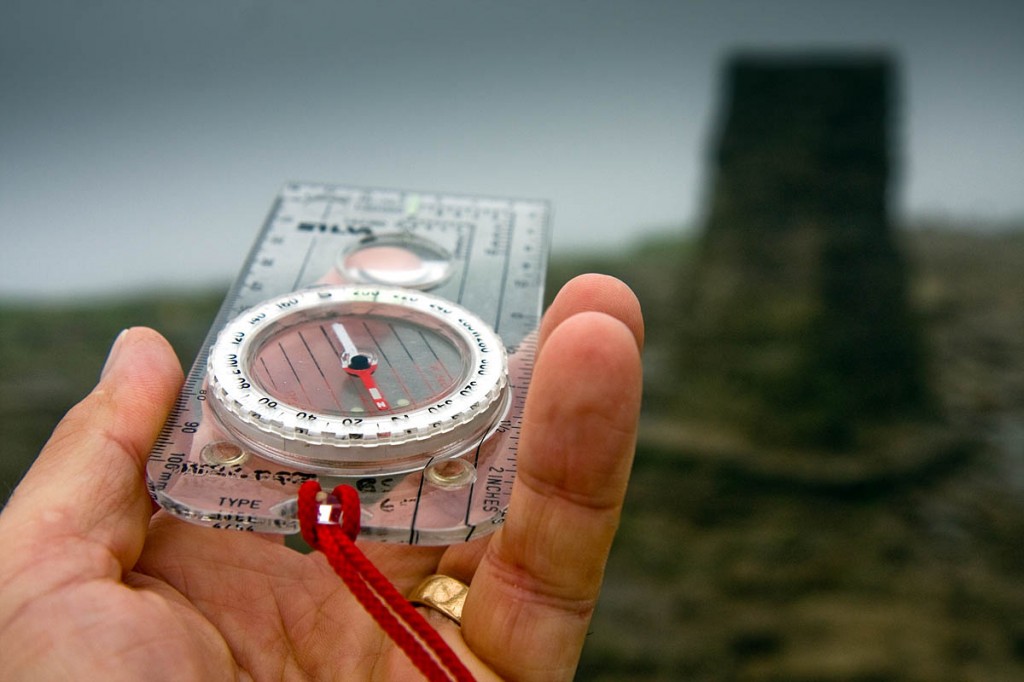
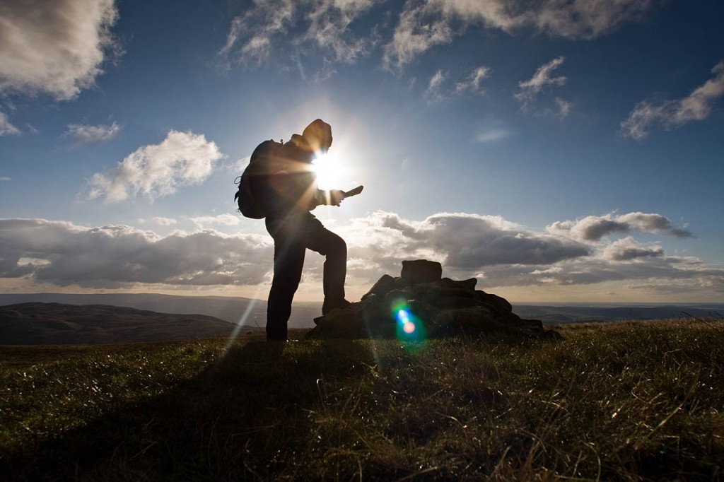
Britons are losing their way when it comes to map reading – because of their reliance on technology.
Basic navigation skills are being lost as we become increasingly dependent on electronic gadgets to guide us, a learned body said.
The Royal Institute of Navigation is calling on UK schools to teach basic skills in finding their way to counteract the fact society is being ‘sedated by software’
The London-based organisation, which was founded 68 years ago, said teaching navigation is a way to develop character, independence and an appreciation of maths and science.
Roger McKinlay, president of the institute, said: “It is concerning that children are no longer routinely learning at home or school how to do anything more than press ‘search’ buttons on a device to get anywhere.
“Many cannot read a landscape, an Ordnance Survey map, or find their way to a destination with just a compass, let alone wonder at the amazing role astronomy plays in establishing a precise location.
“Instead, generations are now growing up utterly dependent on signals and software to find their way around.
“But much more is being lost. Traditional navigation skills encourage independent thought based on calculation and self-reliance, and have throughout history. Fortunately, Captain Cook did not wait for a sat nav signal to reach south-east Australia.
“Global positioning satellites are a great innovation, but they are turning course setting by instrument and calculation, which has guided how civilisation developed, into little more than a heritage talent.
“As anyone who has struggled to get a signal, or wondered why their sat-nav has turned them ‘left’ when ‘right’ was plainly correct knows, technology cannot always be relied upon.
“The trained human brain is infinitely better in a crisis at working out a sensible route and taking in all relevant data, such as weather and terrain.”
The institute, whose patron is the Duke of Edinburgh and whose current membership includes Polar explorer Sir Ranulph Fiennes, wants to widen an understanding of core navigation skills.
Mr McKinlay said: “Nations including ours grew wealthy and strong in part due to a drive for exploration that relied on navigation. The skills we are shrugging off are part of our collective DNA.”
He said an unquestioned consensus that computers are ‘the fountain of all knowledge’ is part of the problem.
“It is also hard to escape the view that one reason navigation skills are not taught is that it takes people from a controllable classroom, indoors, to the world outside,” he said.
“There is a wider issue than navigation here. Our view is that reliance on computers presents no conceptual challenges.
“The human brain is left largely inert and untaxed while calculations are made electronically, by a software ‘brain’ without the elasticity to make connections and judgements.”


madcarew
03 May 2015Wise words, well said...now where did I put my Astrolabe?
Bill Pattison MBE
03 May 2015St.range to say that map reading skills are being lost,many never had them in the first place
Ross Mellows
03 May 2015I agree with Bill. Claim is overblown - but getting the institute plenty of exposure. Map/compass skills weren't that more widespread prior to the availabilty of software & GPS.
Map/compass skills which are only likely to be used for hobby purposes - should they really be taught by schools?
There are more people on the hills who are using gps/mapping software who have little or no map/compass skills but that's a different issue. Those people have always been around. In the past they'd have taken a map & hoped for the best or just not bothered.
I would think some indiginous peoples would have preferred Cook not discovered their land through use of traditional navigation techniques!
Gareth Doyle
03 May 2015A fair amount of youngsters get basic map & compass skills from the Scout & Guide organisations and by participating in the D of E award scheme at School / Youth Group levels. Not all is lost just yet!
Sarah
04 May 2015We teach all aspects of navigation to our Dofe students, Bronze through to Gold within PE lessons. Approximately 100 students receive 3 months training and 50 students receive 12 months training per year. Phones are allowed on expeditions but only in an emergency.
GPS has it's place and we use trackers on our students. This should not and doesn't replace a map and compass!
Marion Boyle
05 May 2015There is a positive side to new technology: software such as Anquet can help tremendously in learning how to read contour lines (for many years I used models made of layers of cork tiles when teaching this, but it was difficult to give people a real impression of what a hill would look like from beside it rather than looking down on a model). Now you can see a 3D picture of the hill from any angle, on screen. Websites such as Where's the Path show an OS map alongside an aerial view of the same terrain, and as well as helping the beginner to learn to interpret map symbols, it also shows them how much more information can be gleaned from a "proper map" once they learn to use it.
Brian MacLeod
19 July 2015At least my GPS doesn't shred when I pull it out on the side of a mountain in driving rain... :)
But really? Maps and compasses are technology too. (Which I might add I also use)