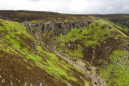
A walker lost in the dark on the Peak District’s highest hill was found after a four-hour operation involving four mountain rescue teams.
Five handlers and animals form the Search and Rescue Dogs Association joined the hunt for the 38-year-old woman on Kinder Scout in the early hours of Thursday.
Buxton Mountain Rescue Team was called out at 2.30am, joining colleagues from the Kinder, Edale and Glossop teams in the search, in heavy rain and driving winds.
A Buxton MRT spokesperson said: “Although the rescue teams had mobile-phone contact with the woman from Doncaster she was unable to give any coherent information as to her probable location.
“Following the discovery of her car in Edale the search concentrated on Kinder Scout with the four rescue teams implementing a well practised operational search plan.
“Within two hours a group of Buxton Team members located the woman on the edge path at the top of Grindsbrook Clough.
“The lady was wet, cold and tired but was able to walk with assistance back to Edale from where she was taken by ambulance for a full examination at hospital
“Whilst the lady had little idea of where she had been, her correct outdoor clothing and the fact she carried a torch was a great aid to the success of the rescue.”

skylark
19 October 2013Kinder Scout is confusing on a beautiful sunny day, surely a little time spent on some kind of footpath marked system would pay dividends in not having to call the mountain rescue out on these occasions.
Paul B
19 October 2013Yes, I always call it Wander Scout, however it's just the kind of place where you need good navigational skills .
We should keep it that way.
Claire
20 October 2013I'm in agreement with Paul. If people want to go up there, they should learn the navigation skills.
Lee
10 July 2014Agree totally, we shouldn't ruin natural beauty with needless signage.
Mike
23 August 2017One issue on Kinder is that the path marked on the OS map from the area marked Kinder Gates heading east back to Grindsbrook Clough and on to Edale is not obvious - it seemed to me just be a case of ploughing through a very wet moor. Did I miss it? It's easy to imagine how the absence of a path in very foggy conditions would be disorienting. I can see how the OS map could be said to be a little misleading even if people had rudimentary map skills. Is there a case for putting down duckboards for this stretch? (Thinking of the stretch on the Chapple-le-Dale side of ingleborough). Just an idea.
Kev
29 August 2017We were up there yesterday and as usual lost after trying to follow the OS map path beyond Kinder Gates.
Not fun at the time but had a laugh afterwards. First time we did it we both got stuck after trying to jump across to " dry " land. Fortunately a couple of Park " Rangers" ( ?) pulled us out.