Mountain rescuers pleaded with walkers to learn to navigate after they had difficulty finding an injured man.
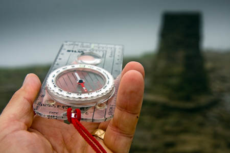
Langdale Ambleside Mountain Rescue Team said walkers heading for the hills should always take a map and compass.
The team was called out about 11.15am on Tuesday after a man slipped on wet ground and injured his leg.
A spokesperson for the team said: “It wasn’t easy to locate him, since he had no map or other means of determining his position. He did have a pamphlet describing his walk, and luckily the weather was clear, so we could spot him once we were in the area.”
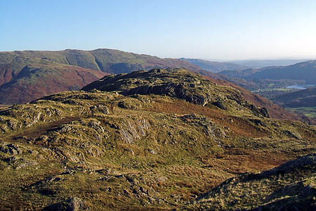
The walker was found on Gibson Knott by team members and treated at the scene. The spokesperson said: “He wasn’t anywhere close to a path when he was located.”
The spokesperson added: “It is essential that you can navigate.
“Relying solely on a GPS, either free-standing, or software on a smartphone, is a hazardous strategy, and can land you in trouble.
“Being able to orientate a map to the ground you’re are on, recognise features on the ground as they appear on a map and being able to tell you direction of travel and distance travelled are skills that not only make remote area travel safer, but it is also very satisfying.
“If your party gets lost, you cannot blame someone else for navigation errors. It’s everyone’s responsibility.
“Courses are available and they are often taught on a day out, so you don’t waste time sat in a classroom.
“The ability to navigate and keep moving in poor visibility, extreme weather, darkness and in unfamiliar terrain is a vital skill.
“Not taking a map and compass in the first instance is unforgiveable.”


Dave
15 May 2013A map and compass are useless unless you know how to use them. I have seen too many people with plastic map cases
flapping round their necks, but who really don't know where they are. Many years ago, in perfect visibility, on a warm summer day, an old friend had to show a party leader how to get from Esk Hause to Styhead ! I had one of the first ML
Certificates and teaching navigation was the most difficult thing I ever had to do. Some people simply haven't a clue.
john france
19 May 2013I agree with above . I recently climbed ledge route and proceeded up macleans steep to the summit . Two walkers on the summit did not have a clue how to find the way down as a squall approached reducing visibility . I pointed them out the correct line . Also pointing out how to avoid 5 finger gully!!!!.
Melanie
21 May 2013I rather suspect we are preaching to the converted here, but in case it's of use to anyone, Ordnance Survey have a whole series of map reading skills videos and leaflets online http://ow.ly/leYkP and are running a series of free workshops with Cotswold Outdoor Stores. Entirely appreciate it would be better to run them outdoors, but this means we can, at least, cover basic skills with large numbers of people.