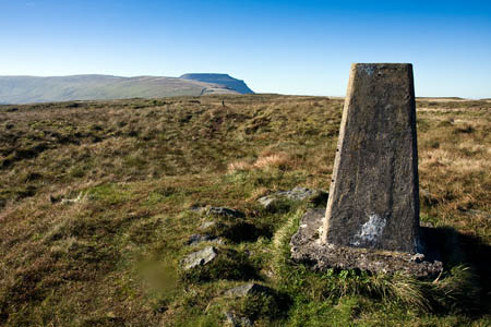
A group of walkers was rescued after getting lost in low cloud on Yorkshire’s second-highest peak.
The five men and boys, aged between 13 and 49, called for help after they lost their way coming down from Ingleborough in the Yorkshire Dales.
The Clapham-based Cave Rescue Organisation received a report shortly before 3pm that the walkers were wet, cold and lost.
The rescue team put two search dogs and handlers on to the fell from Chapel-le-Dale and Colt Park, north-west and north-east of the summit respectively. The walking group was discovered on a neighbouring fell.
A team spokesperson said: “The party was quickly found on Park Fell and brought off the hill.”
The rescue was the team’s 13th of 2012.

Andy Strangeway
09 April 2012Mickle Fell is Yorkshires highest peak, Whernside is the second highest, Ingleborough is the third.
Jon Beavan
09 April 2012Would that be the historic boundary of Yorkshire rather than the current. Mickle Fell is in County Durham.
Using the same criteria the Old Man of Coniston was Lancashire's historic high point. Now (according to OS spot heights) its the very uninspiring and little visited Green Hill 3km or so North North East of Gragareth.
Andy Strangeway
09 April 2012The boundary of Yorkshire is the same today as it has been for over 1,100 years. The current boundary is the historic boundary. Mickle Fell is the highest point of Yorkshire, always has been and always will be.
With regards Lancashire the boundary of Lancashire has also not changed and the highest point of Lancashire is still the Old Man of Coniston.
The counties never changed in 1974 only the administrative areas
Chris Dawson, Chairman Friends of Real Lancashire
09 April 2012Despite changes to administrative areas, the Old Man of Coniston is still the highest point in Lancashire, because no legislation has ever changed the boundaries of Britain's traditional geographical counties.
mal
19 September 2013well said all yes mickle fell lost a quiz on that one. but hey ho.